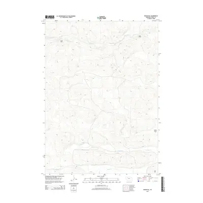
2014 Map of Indian Hill
USGS Topo · Published 2014About this map
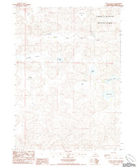
Indian Hill stands as a prominent elevation in this northern Nebraska landscape, overlooking the meandering path of the Snake River as it cuts through the northern portion of the quadrangle. The terrain is defined by a series of drainages and upland flats characteristic of the Sandhills region, with Boardman Cr and Gordon Creek flowing eastward across the lower half of the sheet. Human intervention is sparse in this open country, represented primarily by the Indian Bridge crossing and the expansive School Section Flat. This 2014 survey documents a territory where the natural hydrography and landforms like Aljo Hill remain the dominant features, offering a clear view of the rural ranching environment before modern developments might further alter the traditional land use patterns of Cherry County.
Find a feature on this map
8 named features on this map. Tap any name to fly to it.
Don’t see what you’re looking for? This feature index may not catch every label — zoom into the map to look around manually.
Map Details
Editions of this 2014 Indian Hill Map
This is the sole edition of this map. No revisions or reprints were ever made.
Other maps of this area
1949 · Steverson Lake
USGS Topo · 1:62,500
1950 · Doughboy
USGS Topo · 1:62,500
1950 · Wolf Lake
USGS Topo · 1:62,500
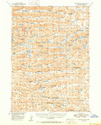
1951 · Steverson Lake
USGS Topo · 1:62,500
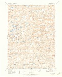
1951 · Wolf Lake
USGS Topo · 1:62,500
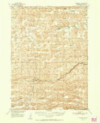
1951 · Merriman 4
USGS Topo · 1:62,500
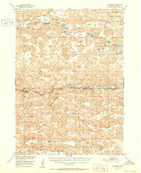
1952 · Doughboy
USGS Topo · 1:62,500

1957 · Valentine
USGS Topo · 1:250,000

1959 · Valentine
USGS Topo · 1:250,000
1985 · Heath Valley
USGS Topo · 1:24,000