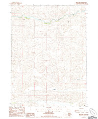
1985 Map of Indian Hill
USGS Topo · Published 1985About this map
The Snake River winds across the northern landscape of this Cherry County interior, carved into the undulating sandhills where water and terrain dictate the layout of early cattle operations. Near the northern bend of the river, Indian Hill and Devils Hole provide distinctive landmarks for navigation and land management. Further south, the terrain levels out into the School Section Flat, a designation hinting at the historic reservation of land for public education funding in the Nebraska plains.
Find a feature on this map
12 named features on this map. Tap any name to fly to it.
Don’t see what you’re looking for? This feature index may not catch every label — zoom into the map to look around manually.
Map Details
Editions of this 1985 Indian Hill Map
This is the sole edition of this map. No revisions or reprints were ever made.
Other maps of this area

1949 · Steverson Lake
USGS Topo · 1:62,500

1950 · Doughboy
USGS Topo · 1:62,500

1950 · Wolf Lake
USGS Topo · 1:62,500

1951 · Steverson Lake
USGS Topo · 1:62,500

1951 · Wolf Lake
USGS Topo · 1:62,500

1951 · Merriman 4
USGS Topo · 1:62,500

1952 · Doughboy
USGS Topo · 1:62,500

1957 · Valentine
USGS Topo · 1:250,000

1959 · Valentine
USGS Topo · 1:250,000

1985 · Heath Valley
USGS Topo · 1:24,000