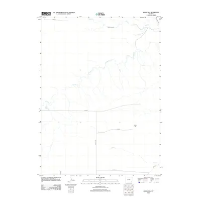
2012 Map of Indian Hill
USGS Topo · Published 2012About this map
Double Lazy T Ranch sits in the northern reaches of this Laramie County landscape, where the High Plains terrain is defined by a sparse network of county roads and meandering creek beds. This 2012 survey by the U.S. Geological Survey illustrates a ranching-focused environment where water management is critical, evidenced by the Garden Ditch and the winding course of Bear Cr and Little Bear Cr. The namesake Indian Hill rises as a localized landmark amidst the vast, open stretches of the Wyoming interior. Surveyors have meticulously documented the grid of local infrastructure, including Indian Hill Rd and Boughsty Rd, which provide access across the high prairie. The map offers a clear view of the rural settlement patterns and hydrological features like Cattail Cr in this corner of the state just before the middle of the second decade.
Find a feature on this map
14 named features on this map. Tap any name to fly to it.
Don’t see what you’re looking for? This feature index may not catch every label — zoom into the map to look around manually.
Map Details
Editions of this 2012 Indian Hill Map
This is the sole edition of this map. No revisions or reprints were ever made.
Other maps of this area
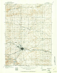
1911 · Cheyenne
USGS Topo · 1:125,000
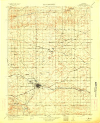
1914 · Cheyenne
USGS Topo · 1:125,000
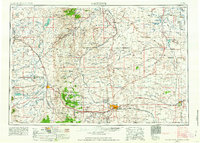
1954 · Cheyenne
USGS Topo · 1:250,000
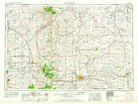
1958 · Cheyenne
USGS Topo · 1:250,000
1962 · Moffett Ranch
USGS Topo · 1:24,000
1962 · Lewis Ranch
USGS Topo · 1:24,000
1962 · Bristol Ridge NE
USGS Topo · 1:24,000
1963 · Little Indian Draw
USGS Topo · 1:24,000
1963 · C S Ranch
USGS Topo · 1:24,000
1963 · Cattail Ranch
USGS Topo · 1:24,000