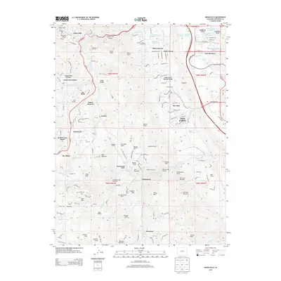
2013 Map of Indian Hills
USGS Topo · Published 2013About this map
Indian Hills and the winding drainages of the Front Range dominate this landscape just south of Morrison. The area is defined by sharp topographic shifts, where the Hogback ridge separates the residential developments of Ken Caryl and Willow Brook from the steep canyons to the west. Evidence of the region’s ranching roots and early 20th-century mountain living remains in places like Willow Springs Ranch and the community at Phillipsburg.
Find a feature on this map
165 named features on this map. Tap any name to fly to it.
Don’t see what you’re looking for? This feature index may not catch every label — zoom into the map to look around manually.
Map Details
Editions of this 2013 Indian Hills Map
This is the sole edition of this map. No revisions or reprints were ever made.
Other maps of this area

1893 · Platte Canyon
USGS Topo · 1:125,000

1899 · West Denver
USGS Topo · 1:125,000

1938 · Morrison
USGS Topo · 1:24,000

1941 · Fort Logan
USGS Topo · 1:31,680

1942 · Morrison
USGS Topo · 1:31,680

1942 · Littleton
USGS Topo · 1:31,680

1945 · Indian Hills
USGS Topo · 1:31,680

1945 · Platte Canyon
USGS Topo · 1:24,000

1945 · Pine
USGS Topo · 1:24,000

1945 · Kassler
USGS Topo · 1:24,000