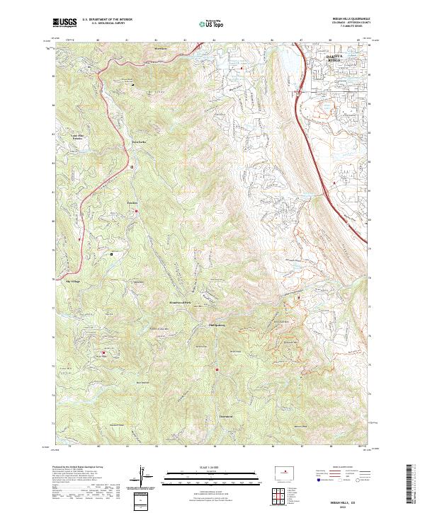
2022 Map of Indian Hills
USGS Topo · Published 2022About this map
Dakota Ridge and the Hogback define the eastern edge of this landscape, where the plains meet the rising foothills of Jefferson County. The community of Morrison sits near the mouth of Turkey Creek Canyon, a gateway through which Turkey Creek and the Independent Highline Ditch flow toward the valley. The map reveals a network of residential enclaves and recreational features, including Homewood Park and Phillipsburg, set against a terrain of steep gulches and peaks like Mt Lindo and Plymouth Mtn. Genealogists and local historians can locate the Olinger Mount Lindo Cem near the northern border and the Ault Cem further south. The area is also defined by modern conservation and recreation, evidenced by numerous reservoirs such as Ken Caryl Reservoir and a extensive trail system including the C-470 Trl and Red Mesa Loop Trl.
Find a feature on this map
123 named features on this map. Tap any name to fly to it.
Don’t see what you’re looking for? This feature index may not catch every label — zoom into the map to look around manually.
Map Details
Editions of this 2022 Indian Hills Map
This is the sole edition of this map. No revisions or reprints were ever made.
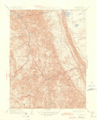
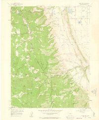
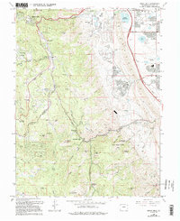
Historical Maps of Indian Hills Through Time
4 maps found