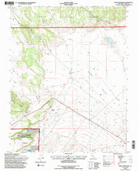
1994 Map of Indian Meadows
USGS Topo · Published 1997About this map
Adobe Valley serves as a high-altitude basin within the Inyo National Forest of Mono County. This mid-1990s revision reflects a landscape shaped by both water and seasonal livestock grazing, with the high western slopes of Granite Mountain giving way to the sprawling meadows and creeks of the basin floor. The drainage network is particularly detailed, tracing the paths of Adobe Creek, Dexter Creek, and McGee Creek as they feed into the Adobe Reservoir and the seasonal waters of Adobe Lake.
Find a feature on this map
22 named features on this map. Tap any name to fly to it.
Don’t see what you’re looking for? This feature index may not catch every label — zoom into the map to look around manually.
Map Details
Editions of this 1994 Indian Meadows Map
2 editions found
Other maps of this area

1909 · Hawthorne
USGS Topo · 1:250,000

1911 · Hawthorne
USGS Topo · 1:250,000

1914 · Mt. Morrison
USGS Topo · 1:125,000

1915 · Hawthorne
USGS Topo · 1:250,000

1947 · Mariposa
USGS Topo · 1:250,000

1948 · Walker Lake
USGS Topo · 1:250,000

1948 · Mariposa
USGS Topo · 1:250,000

1957 · Walker Lake
USGS Topo · 1:250,000

1957 · Mariposa
USGS Topo · 1:250,000

1958 · Trench Canyon
USGS Topo · 1:62,500