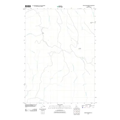
2010 Map of Indian Meadows
USGS Topo · Published 2010About this map
Indian Meadows lies at the heart of this high-desert Owyhee County landscape, where the North Fork Owyhee River carves its path through the southwestern Idaho terrain. The drainage network is complex, defined by a series of seasonal and perennial waterways like Noon Creek and Current Creek that feed into the larger river system. A critical water source for the area is the Indian Meadows Spring, located near the confluence of several small tributaries.
Find a feature on this map
13 named features on this map. Tap any name to fly to it.
Don’t see what you’re looking for? This feature index may not catch every label — zoom into the map to look around manually.
Map Details
Editions of this 2010 Indian Meadows Map
This is the sole edition of this map. No revisions or reprints were ever made.
Other maps of this area

1955 · Jordan Valley
USGS Topo · 1:250,000

1957 · Jordan Valley
USGS Topo · 1:250,000

1958 · Jordan Valley
USGS Topo · 1:250,000
1965 · Triangle
USGS Topo · 1:62,500
1965 · Flint Creek
USGS Topo · 1:62,500
1973 · Indian Meadows
USGS Topo · 1:24,000
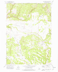
1973 · Pleasant Valley
USGS Topo · 1:24,000
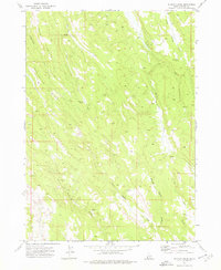
1973 · Wickiup Creek
USGS Topo · 1:24,000
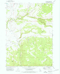
1973 · Fairylawn
USGS Topo · 1:24,000
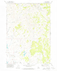
1973 · Cliffs
USGS Topo · 1:24,000