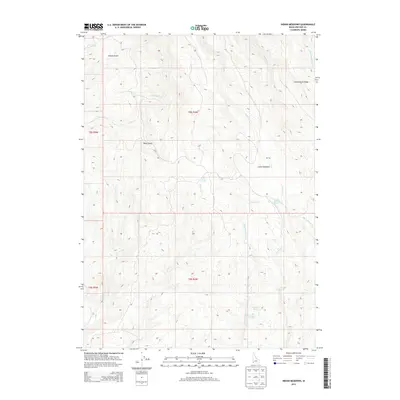
2013 Map of Indian Meadows
USGS Topo · Published 2013About this map
Indian Meadows sits at the heart of this high-elevation terrain in Owyhee County, where a complex network of springs and seasonal creeks feeds into the N Fork Owyhee River. This landscape is defined by its water sources, including Indian Meadows Spring, Big Boggy Spring, and the curiously named Surprise Spring. The geography is carved by several distinct gulches, such as Riley Gulch and Vulcan Gulch, which provide natural drainage through the mountainous territory.
Find a feature on this map
22 named features on this map. Tap any name to fly to it.
Don’t see what you’re looking for? This feature index may not catch every label — zoom into the map to look around manually.
Map Details
Editions of this 2013 Indian Meadows Map
This is the sole edition of this map. No revisions or reprints were ever made.
Other maps of this area

1955 · Jordan Valley
USGS Topo · 1:250,000

1957 · Jordan Valley
USGS Topo · 1:250,000

1958 · Jordan Valley
USGS Topo · 1:250,000
1965 · Triangle
USGS Topo · 1:62,500
1965 · Flint Creek
USGS Topo · 1:62,500
1973 · Indian Meadows
USGS Topo · 1:24,000
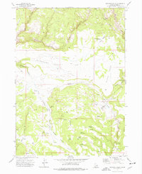
1973 · Pleasant Valley
USGS Topo · 1:24,000
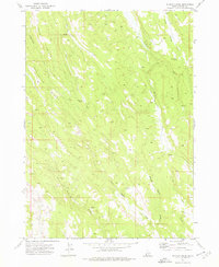
1973 · Wickiup Creek
USGS Topo · 1:24,000
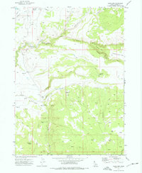
1973 · Fairylawn
USGS Topo · 1:24,000
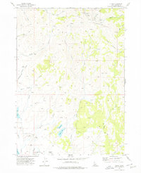
1973 · Cliffs
USGS Topo · 1:24,000