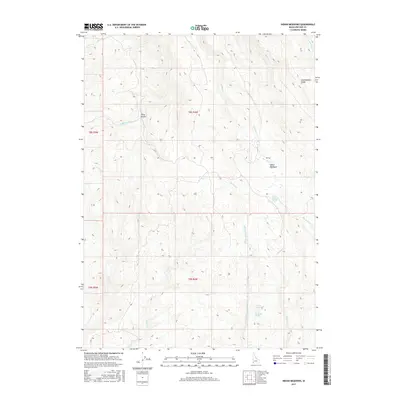
2017 Map of Indian Meadows
USGS Topo · Published 2017About this map
The N Fork Owyhee River carves through this high-altitude corner of Idaho, where the landscape is defined by its water sources and ridges. The eponymous Indian Meadows lies in the northeast, supported by Indian Meadows Spring. This 2017 survey reveals a terrain dominated by drainage systems, from the north-flowing Indian Cr to the more remote Nip and Tuck Cr in the east. Numerous named water sources, such as Big Boggy Spring and Surprise Spring, indicate the vital importance of spring-fed water in this arid environment. The topography rises toward Combination Ridge in the northeast, while deep cuts like Riley Gulch break the high plateaus. This map documents the essential natural features of the Owyhee backcountry, where the placement of springs and creeks dictates the patterns of travel and land use.
Find a feature on this map
21 named features on this map. Tap any name to fly to it.
Don’t see what you’re looking for? This feature index may not catch every label — zoom into the map to look around manually.
Map Details
Editions of this 2017 Indian Meadows Map
This is the sole edition of this map. No revisions or reprints were ever made.
Other maps of this area

1955 · Jordan Valley
USGS Topo · 1:250,000

1957 · Jordan Valley
USGS Topo · 1:250,000

1958 · Jordan Valley
USGS Topo · 1:250,000
1965 · Triangle
USGS Topo · 1:62,500
1965 · Flint Creek
USGS Topo · 1:62,500
1973 · Indian Meadows
USGS Topo · 1:24,000
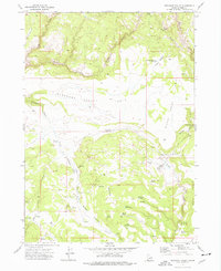
1973 · Pleasant Valley
USGS Topo · 1:24,000
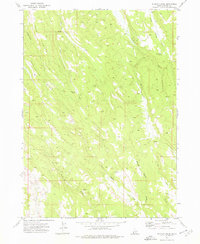
1973 · Wickiup Creek
USGS Topo · 1:24,000
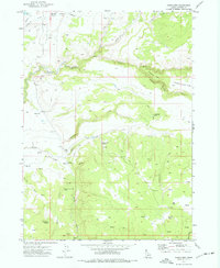
1973 · Fairylawn
USGS Topo · 1:24,000
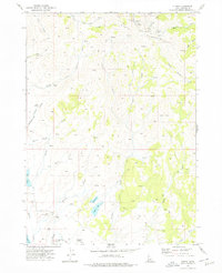
1973 · Cliffs
USGS Topo · 1:24,000