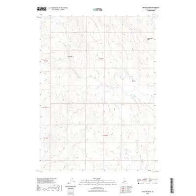
2020 Map of Indian Meadows
USGS Topo · Published 2020About this map
Indian Meadows occupies a central position within this drainage basin in Owyhee County, where the N Fork Owyhee River cuts through the high desert terrain. The landscape is defined by its complex network of seasonal and perennial water sources, including Indian Meadows Spring, Big Boggy Spring, and Surprise Spring, which historically served as critical landmarks for navigation and livestock in this arid environment. Elevation shifts are marked by features like Combination Ridge and Riley Gulch, illustrating the deeply eroded topography typical of the region. The map captures a contemporary look at these drainage systems, from the headwaters of Combination Cr and Bogus Cr to the southern reaches of Noon Cr, providing a precise record of the natural landmarks that have guided ranchers and travelers through this part of Idaho for generations.
Find a feature on this map
21 named features on this map. Tap any name to fly to it.
Don’t see what you’re looking for? This feature index may not catch every label — zoom into the map to look around manually.
Map Details
Editions of this 2020 Indian Meadows Map
This is the sole edition of this map. No revisions or reprints were ever made.
Other maps of this area

1955 · Jordan Valley
USGS Topo · 1:250,000

1957 · Jordan Valley
USGS Topo · 1:250,000

1958 · Jordan Valley
USGS Topo · 1:250,000
1965 · Triangle
USGS Topo · 1:62,500
1965 · Flint Creek
USGS Topo · 1:62,500
1973 · Indian Meadows
USGS Topo · 1:24,000
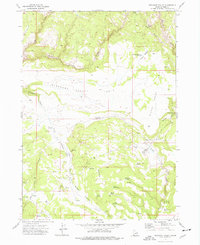
1973 · Pleasant Valley
USGS Topo · 1:24,000
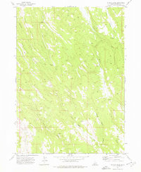
1973 · Wickiup Creek
USGS Topo · 1:24,000
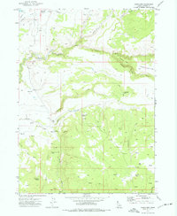
1973 · Fairylawn
USGS Topo · 1:24,000
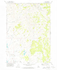
1973 · Cliffs
USGS Topo · 1:24,000