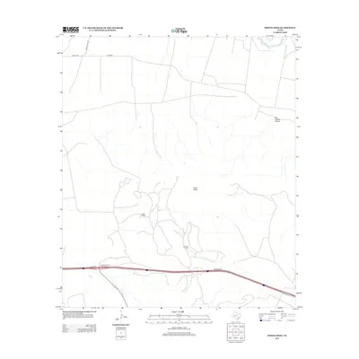
2012 Map of Indian Mesa
USGS Topo · Published 2012About this map
Indian Mesa dominates the central landscape of this West Texas region, which was mapped during a period of sustained energy extraction and ranching activity. The Walker Oil Field occupies a significant portion of the western terrain, indicating the industrial footprint of petroleum production in Pecos County. Transportation infrastructure is concentrated along the northern and southern corridors, with Co-Op Rd and Ranch Road 1901 serving the north, while a modern frontage road system parallels the interstate in the south. The northeast corner is marked by the winding path of the Pecos River and the dramatic relief of Big Harkey Canyon, providing a stark contrast to the plateau above. The presence of McKenzie Ranch illustrates the continued importance of large-scale cattle operations in a region where remote oil fields and traditional ranching exist side by side.
Find a feature on this map
9 named features on this map. Tap any name to fly to it.
Don’t see what you’re looking for? This feature index may not catch every label — zoom into the map to look around manually.
Map Details
Editions of this 2012 Indian Mesa Map
This is the sole edition of this map. No revisions or reprints were ever made.
Other maps of this area
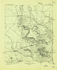
1928 · Crane
USGS Topo · 1:125,000
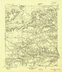
1929 · Independence Draw Quadrangle
USGS Topo · 1:125,000

1954 · Pecos
USGS Topo · 1:250,000

1954 · Fort Stockton
USGS Topo · 1:250,000

1957 · Pecos
USGS Topo · 1:250,000

1958 · Fort Stockton
USGS Topo · 1:250,000
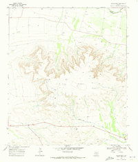
1969 · Indian Mesa
USGS Topo · 1:24,000
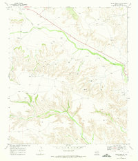
1969 · Indian Mesa SE
USGS Topo · 1:24,000
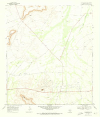
1969 · Bakersfield
USGS Topo · 1:24,000
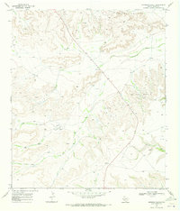
1969 · Sherbino Ranch
USGS Topo · 1:24,000