
1969 Map of Indian Mesa
USGS Topo · Published 1973About this map
Walker Oil Field dominates this West Texas landscape, where the industry of the late 1960s is etched across the high plateau. The map captures a transition between the massive elevation of Indian Mesa and the surrounding drainage systems, including Big Harkey Canyon and the Upper Fourmile Draw. While much of the terrain is defined by petroleum extraction and drilling, the presence of the McKenzie Ranch and the small settlement at Gregg indicate the persistent ranching roots of the region.
Find a feature on this map
11 named features on this map. Tap any name to fly to it.
Don’t see what you’re looking for? This feature index may not catch every label — zoom into the map to look around manually.
Map Details
Editions of this 1969 Indian Mesa Map
This is the sole edition of this map. No revisions or reprints were ever made.
Other maps of this area

1928 · Crane
USGS Topo · 1:125,000

1929 · Independence Draw Quadrangle
USGS Topo · 1:125,000

1954 · Pecos
USGS Topo · 1:250,000

1954 · Fort Stockton
USGS Topo · 1:250,000

1957 · Pecos
USGS Topo · 1:250,000

1958 · Fort Stockton
USGS Topo · 1:250,000
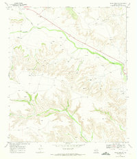
1969 · Indian Mesa SE
USGS Topo · 1:24,000

1969 · Bakersfield
USGS Topo · 1:24,000
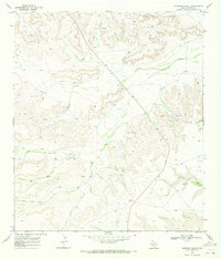
1969 · Sherbino Ranch
USGS Topo · 1:24,000
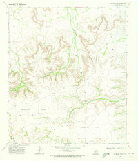
1969 · Sherbino Mesa
USGS Topo · 1:24,000