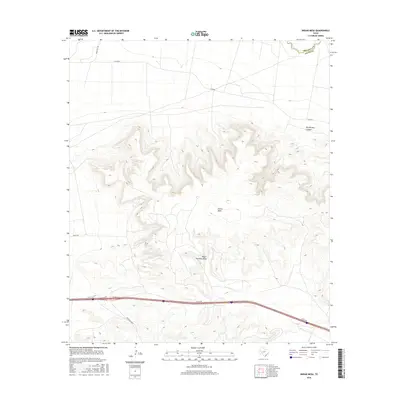
2016 Map of Indian Mesa
USGS Topo · Published 2016About this map
Indian Mesa dominates this western Texas landscape, rising sharply above the surrounding desert terrain in Pecos County. The topographical relief is defined by deep incisions like Big Harkey Canyon and the expansive drainage of Upper Fourmile Draw. In the northeastern corner, the Pecos River serves as the natural boundary between Crockett Co and Pecos Co, carving a path through the arid plateau.
Find a feature on this map
10 named features on this map. Tap any name to fly to it.
Don’t see what you’re looking for? This feature index may not catch every label — zoom into the map to look around manually.
Map Details
Editions of this 2016 Indian Mesa Map
This is the sole edition of this map. No revisions or reprints were ever made.
Other maps of this area
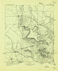
1928 · Crane
USGS Topo · 1:125,000
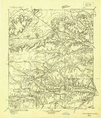
1929 · Independence Draw Quadrangle
USGS Topo · 1:125,000

1954 · Pecos
USGS Topo · 1:250,000

1954 · Fort Stockton
USGS Topo · 1:250,000

1957 · Pecos
USGS Topo · 1:250,000

1958 · Fort Stockton
USGS Topo · 1:250,000
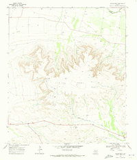
1969 · Indian Mesa
USGS Topo · 1:24,000
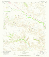
1969 · Indian Mesa SE
USGS Topo · 1:24,000
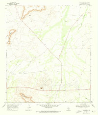
1969 · Bakersfield
USGS Topo · 1:24,000
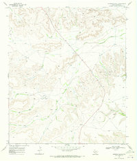
1969 · Sherbino Ranch
USGS Topo · 1:24,000