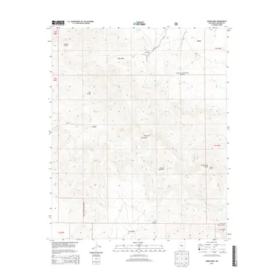
2013 Map of Indian Mesa
USGS Topo · Published 2013About this map
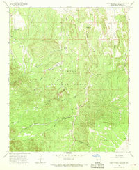
Alamo sits at the edge of this high-elevation landscape in New Mexico, where the peaks of the Gallinas Mountains dominate the central terrain. This 2013 survey documents the sparse but vital water infrastructure of the Cibola National Forest, showing a network of specialized features like the High Lonesome Windmill, Long West Windmill, and Casimero Spring. The geography is defined by deep incisions such as Jaramillo Canyon and Old Canyon, while the presence of the Baca Homestead suggests the enduring history of cattle ranching and settlement in these arid uplands. The namesake Indian Mesa rises in the southeast, near Indian Spring Canyon, illustrating how traditional place names and landform designations continue to shape the maps of the Eastern Navajo Agency. Local ranching operations are further evidenced by numerous catchment systems like Roberts Tanks, Pinto Tank, and Rene Tank.
Find a feature on this map
31 named features on this map. Tap any name to fly to it.
Don’t see what you’re looking for? This feature index may not catch every label — zoom into the map to look around manually.
Map Details
Editions of this 2013 Indian Mesa Map
This is the sole edition of this map. No revisions or reprints were ever made.
Other maps of this area

1954 · Socorro
USGS Topo · 1:250,000

1958 · Socorro
USGS Topo · 1:250,000
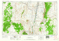
1962 · Socorro
USGS Topo · 1:250,000
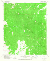
1964 · Indian Mesa
USGS Topo · 1:24,000
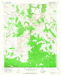
1964 · Table Mountain
USGS Topo · 1:24,000
1964 · Dog Springs
USGS Topo · 1:24,000
1964 · Gallinas Peak
USGS Topo · 1:24,000
1964 · Puertecito
USGS Topo · 1:24,000
1964 · Lion Mountain
USGS Topo · 1:24,000
1964 · Indian Spring Canyon
USGS Topo · 1:24,000