
1964 Map of Indian Mesa
USGS Topo · Published 1967About this map
The Gallinas Mountains dominate this mid-century landscape in Socorro County, New Mexico, where the high elevations of the Cibola National Forest transition into the arid terrain of Indian Mesa. The map captures a high-desert ranching and grazing environment defined by its water sources, marking numerous tanks and windmills essential for survival in this dry climate. Of particular interest to local historians is the Baca Homestead located near the northern edge, a specific family-named site that provides a rare domestic anchor in an otherwise sparsely populated region.
Find a feature on this map
24 named features on this map. Tap any name to fly to it.
Don’t see what you’re looking for? This feature index may not catch every label — zoom into the map to look around manually.
Map Details
Editions of this 1964 Indian Mesa Map
This is the sole edition of this map. No revisions or reprints were ever made.
Other maps of this area

1954 · Socorro
USGS Topo · 1:250,000

1958 · Socorro
USGS Topo · 1:250,000

1962 · Socorro
USGS Topo · 1:250,000

1964 · Table Mountain
USGS Topo · 1:24,000

1964 · Dog Springs
USGS Topo · 1:24,000

1964 · Gallinas Peak
USGS Topo · 1:24,000

1964 · Puertecito
USGS Topo · 1:24,000

1964 · Lion Mountain
USGS Topo · 1:24,000
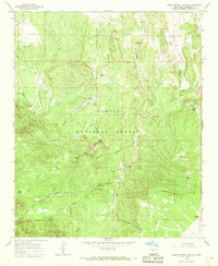
1964 · Indian Spring Canyon
USGS Topo · 1:24,000
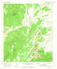
1964 · D Cross Mountain
USGS Topo · 1:24,000