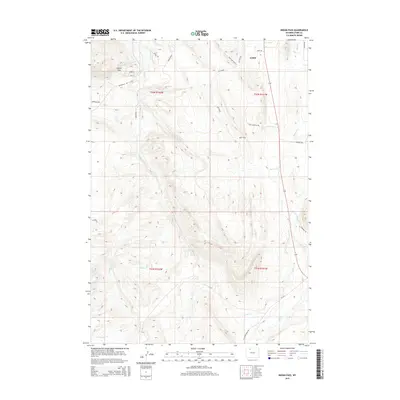
2015 Map of Indian Pass
USGS Topo · Published 2015About this map
The high basins and drainages south of Cody reveal a landscape defined by water management and modern infrastructure in the mid-2010s. The northern edge of the map features the Cody Canal and the Indian Pass Lateral, essential irrigation works that support this arid Wyoming environment. Historically significant trails and modern roads crisscross the terrain, from the Arapahoe Trl to the distinctive loops of the Red Light District and Red Snake.
Find a feature on this map
29 named features on this map. Tap any name to fly to it.
Don’t see what you’re looking for? This feature index may not catch every label — zoom into the map to look around manually.
Map Details
Editions of this 2015 Indian Pass Map
This is the sole edition of this map. No revisions or reprints were ever made.
Other maps of this area

1911 · Oregon Basin
USGS Topo · 1:62,500

1913 · Oregon Basin
USGS Topo · 1:62,500

1949 · Cody
USGS Topo · 1:62,500

1951 · Cody
USGS Topo · 1:62,500

1955 · Cody
USGS Topo · 1:250,000

1957 · Devils Tooth
USGS Topo · 1:62,500

1958 · Cody
USGS Topo · 1:250,000

1962 · Cody
USGS Topo · 1:250,000

1966 · Corbett Dam
USGS Topo · 1:24,000

1980 · Carter Mountain
USGS Topo · 1:100,000