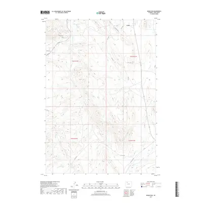
2017 Map of Indian Pass
USGS Topo · Published 2017About this map
Indian Pass serves as a prominent geographical marker in this high-altitude landscape southwest of Cody. The terrain is defined by a complex drainage network where Sulphur Cr and Cody Canal intersect the foothills, revealing the essential water infrastructure required for ranching and settlement in Park County. The naming conventions on this sheet reflect a mix of local history and rugged humor, seen in labels like Red Snake, Prickly Pear, and the notable Red Light District road.
Find a feature on this map
27 named features on this map. Tap any name to fly to it.
Don’t see what you’re looking for? This feature index may not catch every label — zoom into the map to look around manually.
Map Details
Editions of this 2017 Indian Pass Map
This is the sole edition of this map. No revisions or reprints were ever made.
Other maps of this area

1911 · Oregon Basin
USGS Topo · 1:62,500

1913 · Oregon Basin
USGS Topo · 1:62,500

1949 · Cody
USGS Topo · 1:62,500

1951 · Cody
USGS Topo · 1:62,500

1955 · Cody
USGS Topo · 1:250,000

1957 · Devils Tooth
USGS Topo · 1:62,500

1958 · Cody
USGS Topo · 1:250,000

1962 · Cody
USGS Topo · 1:250,000

1966 · Corbett Dam
USGS Topo · 1:24,000

1980 · Carter Mountain
USGS Topo · 1:100,000