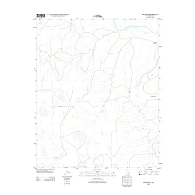
2012 Map of Indian Peak
USGS Topo · Published 2012About this map
Indian Peak stands as a prominent landmark in this portion of Briscoe County, where the high plains begin their descent into the drainage systems of the Panhandle. The northern edge of the map is defined by the Prairie Dog Town Fork Red River, which collects water from a network of intermittent streams including Comanche Cr and Indian Cr. The landscape is largely defined by these erosional features, most notably Johnson Canyon in the northeast and Folley Park to the south. This 2012 survey illustrates a sparsely populated ranching or conservation environment, with human infrastructure limited to a handful of unpaved routes such as Co Road R and Co Road O, and water management points like Wild Horse Tank. The map effectively traces the transition from the flat tableland to the broken breaks along the E Fork Dinner Cr and W Fork Dinner Cr.
Find a feature on this map
13 named features on this map. Tap any name to fly to it.
Don’t see what you’re looking for? This feature index may not catch every label — zoom into the map to look around manually.
Map Details
Editions of this 2012 Indian Peak Map
This is the sole edition of this map. No revisions or reprints were ever made.
Other maps of this area

1954 · Plainview
USGS Topo · 1:250,000

1958 · Plainview
USGS Topo · 1:250,000

1960 · Indian Peak
USGS Topo · 1:62,500

1965 · Ross Canyon
USGS Topo · 1:24,000

1965 · Big Betty Reservoir
USGS Topo · 1:24,000

1965 · Silverton
USGS Topo · 1:24,000

1967 · Hay Lake
USGS Topo · 1:24,000

1967 · Lake Theo
USGS Topo · 1:24,000
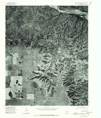
1976 · Indian Peak SW
USGS Topo · 1:24,000
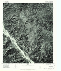
1976 · Indian Peak NW
USGS Topo · 1:24,000