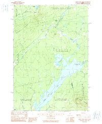
1988 Map of Indian Pond North
USGS Topo · Published 1988About this map
Indian Pond and the Kennebec River dominate this portion of the Maine north woods, illustrating a landscape defined by industrial forestry and hydroelectric geography in the late 1980s. The map highlights the strategic intersection at Somerset Junction, where rail lines historically converged near the West Outlet of Brassua Lake. This region is divided into sprawling townships with colonial-era descriptors, including Sandwich Academy, Sapling, and Indian Stream.
Find a feature on this map
29 named features on this map. Tap any name to fly to it.
Don’t see what you’re looking for? This feature index may not catch every label — zoom into the map to look around manually.
Map Details
Editions of this 1988 Indian Pond North Map
2 editions found
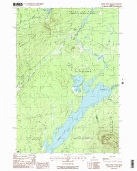
Other maps of this area

1905 · The Forks
USGS Topo · 1:62,500

1907 · The Forks
USGS Topo · 1:62,500

1920 · Moosehead Lake
USGS Topo · 1:62,500

1921 · Brassua Lake
USGS Topo · 1:62,500

1922 · Moosehead Lake
USGS Topo · 1:62,500

1923 · Brassua Lake
USGS Topo · 1:62,500

1930 · Moosehead Lake
USGS Topo · 1:62,500

1944 · Brassua Lake
USGS Topo · 1:62,500

1944 · Moosehead Lake
USGS Topo · 1:62,500

1951 · Greenville
USGS Topo · 1:62,500
Featured Places
- Misery Gore, ME
- Sapling Township, ME
- Big Moose Township, ME
- Tarratine, Taunton & Raynham Academy Grant
- Somerset Junction, Misery Gore