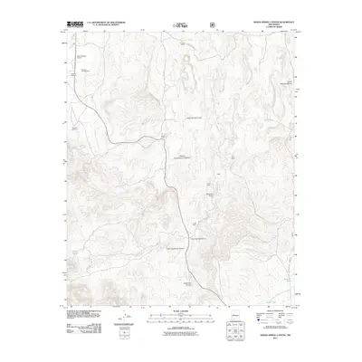
2011 Map of Indian Spring Canyon
USGS Topo · Published 2011About this map
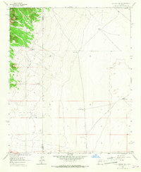
Cibola National Forest encompasses much of this high-elevation landscape, where deep drainages like Indian Spring Canyon and Corkscrew Canyon cut through the terrain. The map documents a sparse network of ranching outposts and infrastructure, including the Alamo Navajo Airport and several named family holdings such as the Thomas Canada Ranch and Chavez Ranch. These settlements are linked by primitive routes like Indian Svc Rte 7031 and Co Rd 27. Water management is central to the area's utility, marked by numerous livestock tanks and natural points like Coal Spring and Burro Spring. Evidence of mineral exploration appears at the Hot Spot Mines, located near the northern reaches of Jaralosa Creek. The topographic detail illustrates a transition from the narrow confines of Maverick Draw to the broader flats surrounding Alamo Creek.
Find a feature on this map
32 named features on this map. Tap any name to fly to it.
Don’t see what you’re looking for? This feature index may not catch every label — zoom into the map to look around manually.
Map Details
Editions of this 2011 Indian Spring Canyon Map
This is the sole edition of this map. No revisions or reprints were ever made.
Other maps of this area

1954 · Socorro
USGS Topo · 1:250,000

1958 · Socorro
USGS Topo · 1:250,000
1962 · Socorro
USGS Topo · 1:250,000
1964 · Indian Mesa
USGS Topo · 1:24,000
1964 · La Jara Peak
USGS Topo · 1:24,000
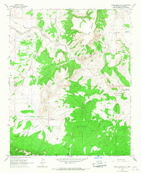
1964 · Table Mountain
USGS Topo · 1:24,000
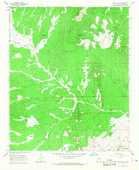
1964 · Silver Hill
USGS Topo · 1:24,000
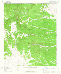
1964 · Gallinas Peak
USGS Topo · 1:24,000
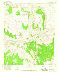
1964 · Puertecito
USGS Topo · 1:24,000
1964 · Lion Mountain
USGS Topo · 1:24,000