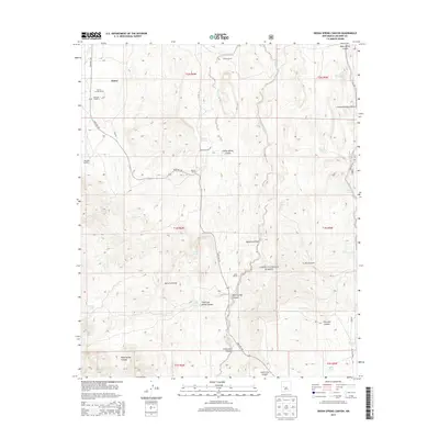
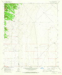
2013 Map of Indian Spring Canyon
USGS Topo · Published 2013About this map
Alamo and its surrounding ranchlands sit at a crossroads of high-desert water sources and rugged drainages in this Socorro County survey. The landscape is defined by a series of significant canyons and draws, including Indian Spring Canyon and Abbe Spring Canyon, which channel seasonal flow toward the Chavez Creek system. Ranching heritage is well-documented through named holdings such as the Thomas Canoda Ranch, Chavez Ranch, and Fretoso Ranch, each strategically positioned near vital water points like Montoya Spring or Windmill Number 1. The map also captures the northern reaches of the Cibola National Forest, where the terrain transitions into complex geological features like Cañon Barranco Blanco and Maverick Draw. This 2013 record provides a clear look at the network of backcountry routes, such as State Rte 169 and Indian Svc Rte 7031, that connect these isolated homesteads and springs.
Find a feature on this map
44 named features on this map. Tap any name to fly to it.
Don’t see what you’re looking for? This feature index may not catch every label — zoom into the map to look around manually.
Map Details
Editions of this 2013 Indian Spring Canyon Map
This is the sole edition of this map. No revisions or reprints were ever made.
Other maps of this area

1954 · Socorro
USGS Topo · 1:250,000

1958 · Socorro
USGS Topo · 1:250,000
1962 · Socorro
USGS Topo · 1:250,000
1964 · Indian Mesa
USGS Topo · 1:24,000
1964 · La Jara Peak
USGS Topo · 1:24,000
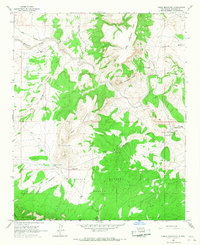
1964 · Table Mountain
USGS Topo · 1:24,000
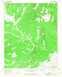
1964 · Silver Hill
USGS Topo · 1:24,000
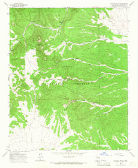
1964 · Gallinas Peak
USGS Topo · 1:24,000
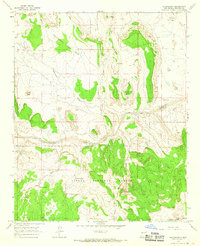
1964 · Puertecito
USGS Topo · 1:24,000
1964 · Lion Mountain
USGS Topo · 1:24,000