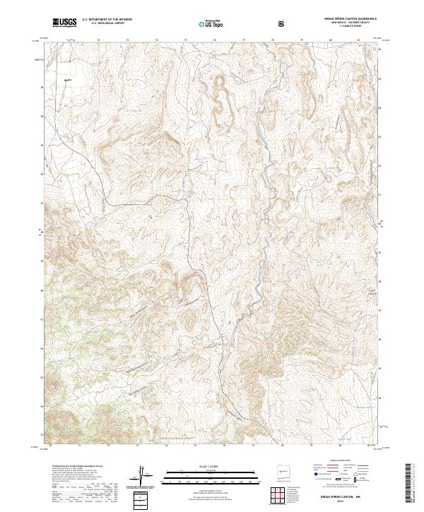
2023 Map of Indian Spring Canyon
USGS Topo · Published 2023About this map
Álamo sits in the northwest corner of this New Mexico landscape, where the high desert terrain is defined by a dense network of water sources and deep drainage systems. The southern portion of the map transitions into the Cibola National Forest, revealing a complex series of landforms including Indian Spring Canyon, Three Log Spring Canyon, and the winding Corkscrew Canyon. These geographical features suggest a history of seasonal water management and ranching, evidenced by the numerous named tanks and springs scattered across the townships.
Find a feature on this map
38 named features on this map. Tap any name to fly to it.
Don’t see what you’re looking for? This feature index may not catch every label — zoom into the map to look around manually.
Map Details
Editions of this 2023 Indian Spring Canyon Map
This is the sole edition of this map. No revisions or reprints were ever made.
Other maps of this area

1954 · Socorro
USGS Topo · 1:250,000

1958 · Socorro
USGS Topo · 1:250,000

1962 · Socorro
USGS Topo · 1:250,000

1964 · Indian Mesa
USGS Topo · 1:24,000

1964 · La Jara Peak
USGS Topo · 1:24,000

1964 · Table Mountain
USGS Topo · 1:24,000

1964 · Silver Hill
USGS Topo · 1:24,000

1964 · Gallinas Peak
USGS Topo · 1:24,000

1964 · Puertecito
USGS Topo · 1:24,000

1964 · Lion Mountain
USGS Topo · 1:24,000