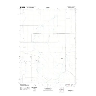
2011 Map of Indian Springs
USGS Topo · Published 2011About this map
Indian Springs Creek carves a path through this corner of Banner County, defining the drainage patterns and topography of the high plains. The landscape is marked by prominent elevations such as Table Top Mountain and Bighorn Mountain, which overlook the deep incision of Indian Springs Canyon. This map captures the rural ranching character of the early 21st century, where large property holdings like the Van Pelt Ranch and Fayden Ranch are the primary markers of human settlement. Water management in this arid environment is evident near the Indian Springs source and the localized infrastructure of Faden Dam. A grid of county roads, including Co RD 124 and Co RD 57, provides the essential connectivity between these isolated ranch sites and the wider Nebraska plains.
Find a feature on this map
17 named features on this map. Tap any name to fly to it.
Don’t see what you’re looking for? This feature index may not catch every label — zoom into the map to look around manually.
Map Details
Editions of this 2011 Indian Springs Map
This is the sole edition of this map. No revisions or reprints were ever made.
Other maps of this area

1898 · Scotts Bluff
USGS Topo · 1:125,000

1898 · Camp Clarke
USGS Topo · 1:125,000

1954 · Scottsbluff
USGS Topo · 1:250,000

1958 · Scottsbluff
USGS Topo · 1:250,000

1965 · McGrew
USGS Topo · 1:24,000

1973 · Scotts Bluff 4 NW
USGS Topo · 1:24,000

1973 · Scotts Bluff 4 SE
USGS Topo · 1:24,000

1973 · Scotts Bluff 4 NE
USGS Topo · 1:24,000

1973 · Scotts Bluff 4 SW
USGS Topo · 1:24,000

1973 · Kimball 1 NE
USGS Topo · 1:24,000