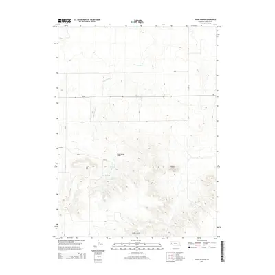
2014 Map of Indian Springs
USGS Topo · Published 2014About this map
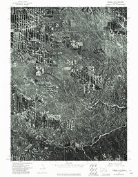
Indian Springs anchors this high-plains landscape in Banner County, where the terrain transitions from open plateau to complex drainages and escarpments. The hydrology is dominated by the seasonal paths of Indian Springs Cr as it winds toward Indian Springs Canyon, while Faden Reservoir provides a critical point of water management in an otherwise arid environment. This 2014 survey illustrates a geography defined by its relief, with prominent landmarks such as Bighorn Mtn and the flat-topped profile of Table Top Mtn rising above the surrounding draws. A network of county roads, including CR-24 and Co Road 157, bisects the area, following the natural contours of Bighorn Gulch and the primary east-west corridor of Ne-88. The map documents the enduring ranching and rural infrastructure of the Nebraska panhandle, preserving the locations of specific water sources and named geographic features essential for local navigation and land use.
Find a feature on this map
22 named features on this map. Tap any name to fly to it.
Don’t see what you’re looking for? This feature index may not catch every label — zoom into the map to look around manually.
Map Details
Editions of this 2014 Indian Springs Map
This is the sole edition of this map. No revisions or reprints were ever made.
Other maps of this area
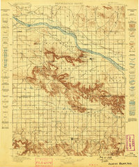
1898 · Scotts Bluff
USGS Topo · 1:125,000
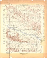
1898 · Camp Clarke
USGS Topo · 1:125,000

1954 · Scottsbluff
USGS Topo · 1:250,000

1958 · Scottsbluff
USGS Topo · 1:250,000
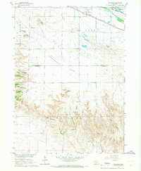
1965 · McGrew
USGS Topo · 1:24,000
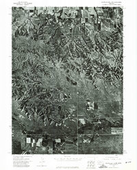
1973 · Scotts Bluff 4 NW
USGS Topo · 1:24,000
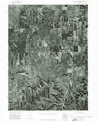
1973 · Scotts Bluff 4 SE
USGS Topo · 1:24,000
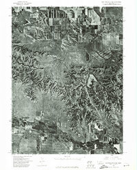
1973 · Scotts Bluff 4 NE
USGS Topo · 1:24,000
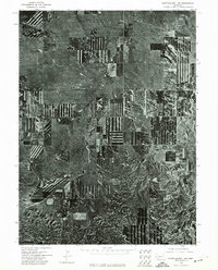
1973 · Scotts Bluff 4 SW
USGS Topo · 1:24,000
1973 · Kimball 1 NE
USGS Topo · 1:24,000