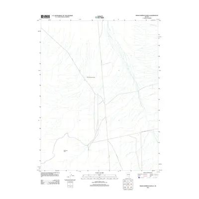
2012 Map of Indian Springs Knolls
USGS Topo · Published 2012About this map
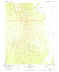
Patterson Peak anchors the southwest corner of this high-desert landscape in White Pine County, Nevada. The terrain is defined by the alluvial fans and drainage networks characteristic of the Great Basin, where seasonal watercourses like Murphy Wash and Johns Wash descend toward the valley floor. The map highlights the eponymous Indian Springs Knolls, a series of modest elevations that interrupt the broad, sloping plains. Human activity is marked primarily by a network of rural roads and infrastructure, including Atlanta Rd and Co Rd 47, which connect the remote Indian Springs area to the wider county. The alignment of the Indian Springs Fence Line Rd suggests long-standing land management and ranching boundaries in this arid environment, providing a detailed record of local access and geography in the early twenty-first century.
Find a feature on this map
9 named features on this map. Tap any name to fly to it.
Don’t see what you’re looking for? This feature index may not catch every label — zoom into the map to look around manually.
Map Details
Editions of this 2012 Indian Springs Knolls Map
This is the sole edition of this map. No revisions or reprints were ever made.
Other maps of this area
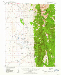
1948 · Wheeler Peak
USGS Topo · 1:62,500
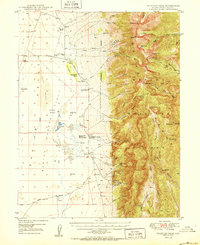
1950 · Wheeler Peak
USGS Topo · 1:62,500

1956 · Lund
USGS Topo · 1:250,000

1960 · Lund
USGS Topo · 1:250,000
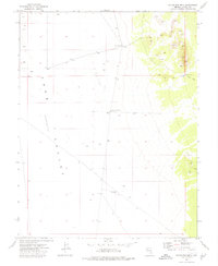
1973 · Gouge Eye Well
USGS Topo · 1:24,000
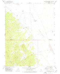
1973 · Indian Springs Knolls
USGS Topo · 1:24,000
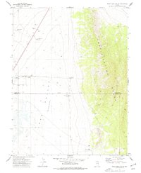
1973 · Mount Grafton NE
USGS Topo · 1:24,000
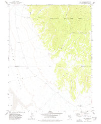
1973 · Red Ledges
USGS Topo · 1:24,000
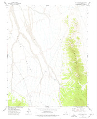
1973 · Wells Summit
USGS Topo · 1:24,000
1978 · The Gouge Eye
USGS Topo · 1:24,000