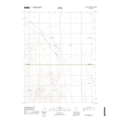
2018 Map of Indian Springs Knolls
USGS Topo · Published 2018About this map
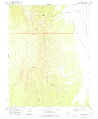
Patterson Peak rises as a prominent landmark in the high desert landscape along the border of White Pine and Lincoln counties. The terrain is characterized by the Fortification Range and the distinctive clusters of the Indian Springs Knolls that punctuate the broad expanse of Spring Valley. This 2018 survey reveals a sparse network of infrastructure centered around the vital water source at Indian Springs, which anchors the southern portion of the map. Arid drainage patterns like Murphy Wash and Johns Wash define the hydrology of the area, illustrating how water shapes movement and settlement in the Great Basin. The presence of White Pine Co Road 47 indicates the primary modern thoroughfare for reaching these remote topographical features, serving as a critical link for those navigating the valley floor between the mountain ranges.
Find a feature on this map
13 named features on this map. Tap any name to fly to it.
Don’t see what you’re looking for? This feature index may not catch every label — zoom into the map to look around manually.
Map Details
Editions of this 2018 Indian Springs Knolls Map
This is the sole edition of this map. No revisions or reprints were ever made.
Other maps of this area
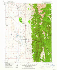
1948 · Wheeler Peak
USGS Topo · 1:62,500
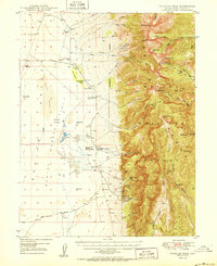
1950 · Wheeler Peak
USGS Topo · 1:62,500

1956 · Lund
USGS Topo · 1:250,000

1960 · Lund
USGS Topo · 1:250,000
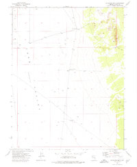
1973 · Gouge Eye Well
USGS Topo · 1:24,000
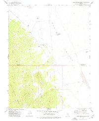
1973 · Indian Springs Knolls
USGS Topo · 1:24,000
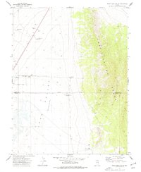
1973 · Mount Grafton NE
USGS Topo · 1:24,000
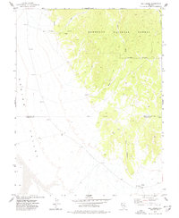
1973 · Red Ledges
USGS Topo · 1:24,000
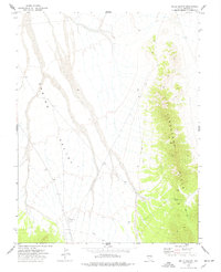
1973 · Wells Summit
USGS Topo · 1:24,000
1978 · The Gouge Eye
USGS Topo · 1:24,000