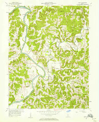
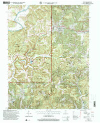
1978 Map of Indian Springs
USGS Topo · Published 1978About this map
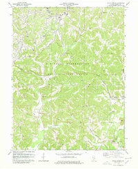
The US Naval Reservation Weapons Support Center dominates the central landscape of Martin County in the late 1970s, illustrating the intersection of military infrastructure and rural Indiana life. The topography is defined by significant landmarks such as Gobbler Knob and Bear Hill, while the Chicago Milwaukee St Paul and Pacific railroad tracks cut through the terrain near Indian Springs.
Find a feature on this map
38 named features on this map. Tap any name to fly to it.
Don’t see what you’re looking for? This feature index may not catch every label — zoom into the map to look around manually.
Map Details
Editions of this 1978 Indian Springs Map
2 editions found
Historical Maps of Cale Through Time
24 maps found
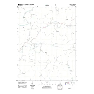
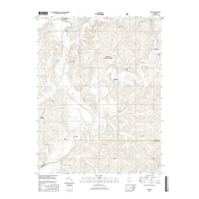
1948 Huron
Martin County, IN
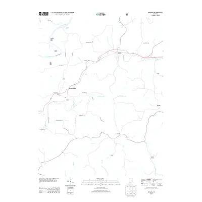
1950 Huron
Martin County, IN
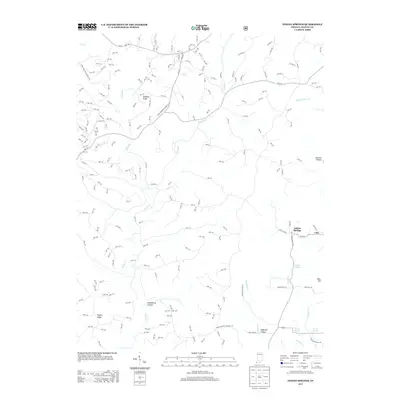
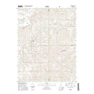
1956 Indian Springs
Martin County, IN
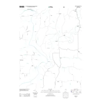
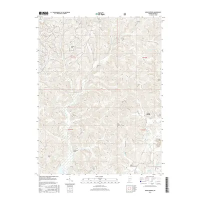
1956 Rusk
Martin County, IN
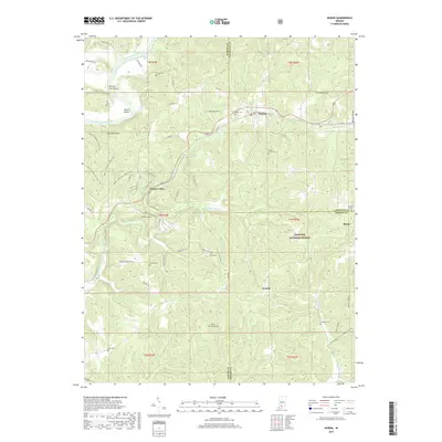
1965 Huron
Martin County, IN
1978 Indian Springs
Martin County, IN
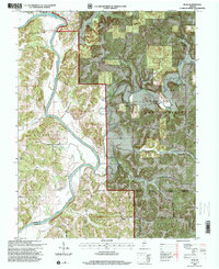
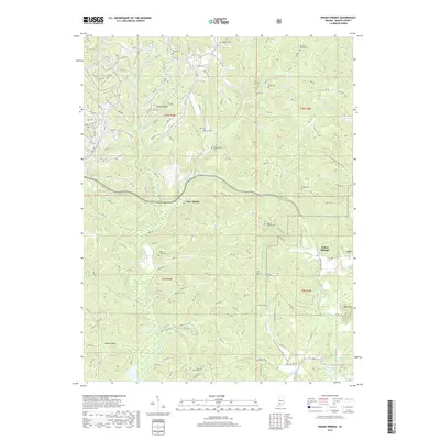
1978 Rusk
Martin County, IN
1993 Huron
Martin County, IN
1993 Rusk
Martin County, IN
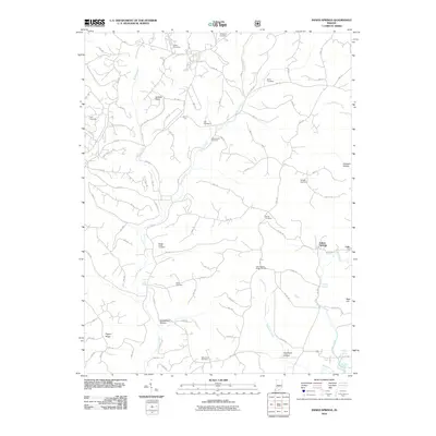
2010 Indian Springs
Martin County, IN
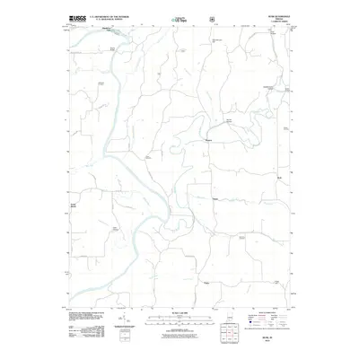
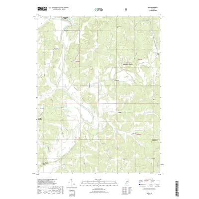
2010 Rusk
Martin County, IN
2011 Huron
Martin County, IN
2013 Huron
Martin County, IN
2013 Indian Springs
Martin County, IN
2013 Rusk
Martin County, IN
2016 Huron
Martin County, IN
2016 Indian Springs
Martin County, IN
2016 Rusk
Martin County, IN
2019 Huron
Martin County, IN
2019 Indian Springs
Martin County, IN
2019 Rusk
Martin County, IN
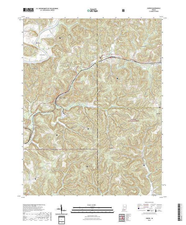
2022 Huron
Martin County, IN
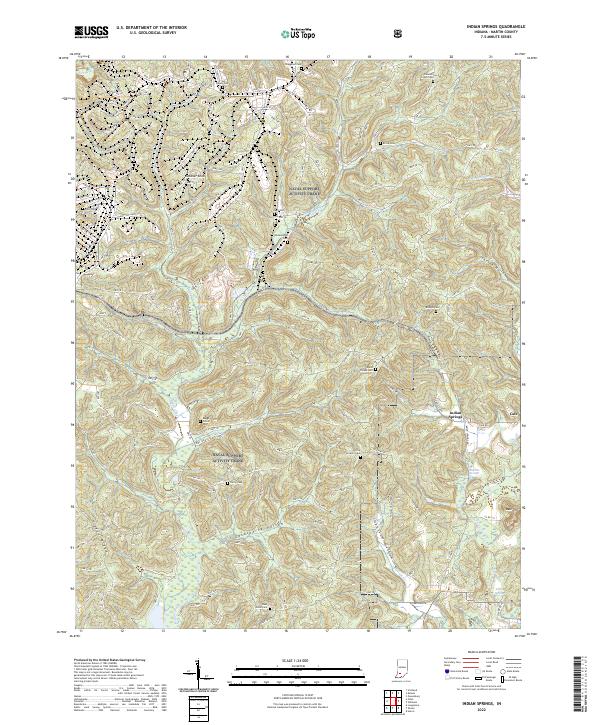
2022 Indian Springs
Martin County, IN
2022 Rusk
Martin County, IN