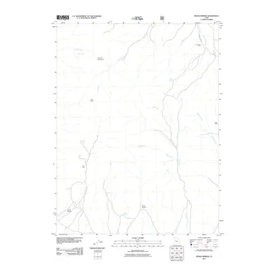
2011 Map of Indian Springs
USGS Topo · Published 2011About this map
The Simpson Mountains dominate this high-desert landscape, where seasonal drainages and isolated springs dictated the placement of early ranching outposts. Remote operations such as the O P Rockwell Ranch and Black Ranch are situated near the ephemeral flows of Meadow Creek and Government Creek, illustrating the precarious nature of settlement in this arid reach of Tooele County. The terrain is marked by significant topographical shifts, from the heights of Lion Peak to the deep incisions of Death Canyon and Broad Canyon. Resource extraction and land management are evidenced by the Bar X Mine and a lone Corral, while a network of primitive routes like Erickson Pass Rd provides the only access through the canyons. The name-sake Indian Springs and other water sources like Antelope Springs and Iron Spring remain the most critical landmarks for navigation and survival in this sparsely populated territory.
Find a feature on this map
19 named features on this map. Tap any name to fly to it.
Don’t see what you’re looking for? This feature index may not catch every label — zoom into the map to look around manually.
Map Details
Editions of this 2011 Indian Springs Map
This is the sole edition of this map. No revisions or reprints were ever made.
Other maps of this area

1885 · Sevier Desert
USGS Topo · 1:250,000
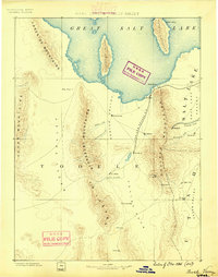
1885 · Tooele Valley
USGS Topo · 1:250,000

1953 · Tooele
USGS Topo · 1:250,000

1953 · Delta
USGS Topo · 1:250,000
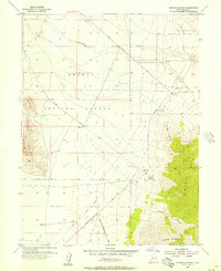
1955 · Simpson Springs
USGS Topo · 1:24,000
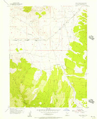
1955 · Indian Peaks
USGS Topo · 1:24,000
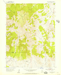
1955 · Indian Springs
USGS Topo · 1:24,000
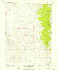
1955 · Coyote Springs
USGS Topo · 1:24,000

1955 · Tooele
USGS Topo · 1:250,000

1958 · Delta
USGS Topo · 1:250,000