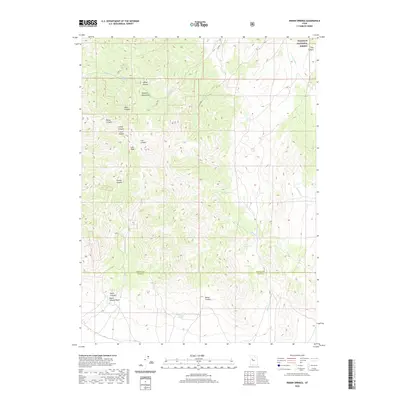
2020 Map of Indian Springs
USGS Topo · Published 2020About this map
The Simpson Mountains dominate this high-desert landscape in Tooele and Juab Counties, where water sources like Indian Springs and Antelope Springs historically dictated the movement of people and livestock. A network of canyons, including Raul Canyon, Lost Canyon, and Footes Canyon, radiates from central peaks like Lion Peak, revealing a terrain carved by seasonal drainage. The presence of a Corral and Lee Cr Pass Rd points to the area's continued use for rangeland management within the arid interior.
Find a feature on this map
27 named features on this map. Tap any name to fly to it.
Don’t see what you’re looking for? This feature index may not catch every label — zoom into the map to look around manually.
Map Details
Editions of this 2020 Indian Springs Map
This is the sole edition of this map. No revisions or reprints were ever made.
Other maps of this area

1885 · Sevier Desert
USGS Topo · 1:250,000
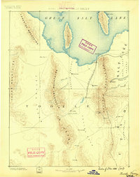
1885 · Tooele Valley
USGS Topo · 1:250,000

1953 · Tooele
USGS Topo · 1:250,000

1953 · Delta
USGS Topo · 1:250,000
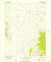
1955 · Simpson Springs
USGS Topo · 1:24,000
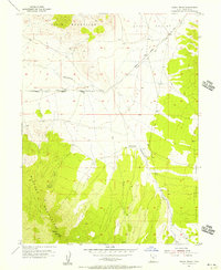
1955 · Indian Peaks
USGS Topo · 1:24,000
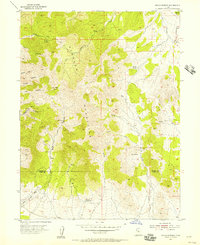
1955 · Indian Springs
USGS Topo · 1:24,000
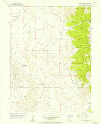
1955 · Coyote Springs
USGS Topo · 1:24,000

1955 · Tooele
USGS Topo · 1:250,000

1958 · Delta
USGS Topo · 1:250,000