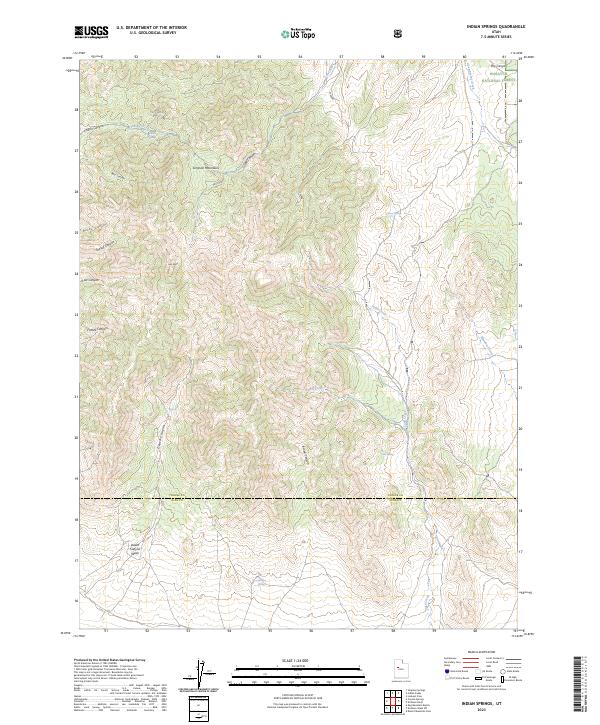
2023 Map of Indian Springs
USGS Topo · Published 2023About this map
Indian Springs and the surrounding drainage basins define this arid high-desert landscape within the Simpson Mountains. The topography is a complex of deep incisions including Rocky Canyon, Grassy Canyon, and Death Canyon, which channel seasonal water toward the lower flats. Evidence of early transit and land management is visible through Pass Rd and the boundaries of the Wasatch National Forest in the northeast corner. This 2023 survey by the U.S. Geological Survey captures a region where life centers on isolated water sources like Cherry Springs, Iron Spring, and Antelope Springs. The map also documents the political geography of the eastern Great Basin, showing the shared border of Tooele Co and Juab Co as it crosses the rugged southern terrain near Death Canyon Wash.
Find a feature on this map
25 named features on this map. Tap any name to fly to it.
Don’t see what you’re looking for? This feature index may not catch every label — zoom into the map to look around manually.
Map Details
Editions of this 2023 Indian Springs Map
This is the sole edition of this map. No revisions or reprints were ever made.
Other maps of this area

1885 · Sevier Desert
USGS Topo · 1:250,000

1885 · Tooele Valley
USGS Topo · 1:250,000

1953 · Tooele
USGS Topo · 1:250,000

1953 · Delta
USGS Topo · 1:250,000

1955 · Simpson Springs
USGS Topo · 1:24,000

1955 · Indian Peaks
USGS Topo · 1:24,000

1955 · Indian Springs
USGS Topo · 1:24,000

1955 · Coyote Springs
USGS Topo · 1:24,000

1955 · Tooele
USGS Topo · 1:250,000

1958 · Delta
USGS Topo · 1:250,000