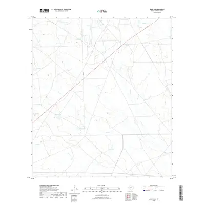
2019 Map of Indian Tank
USGS Topo · Published 2019About this map
Indian Tank and its namesake drainage, Indian Cr, anchor the southern reaches of this Maverick County landscape, defined by a critical network of water management features in the brush country of South Texas. The area is characterized by numerous catchment basins or "tanks" that reflect the region's ranching heritage and the necessity of surface water storage for livestock. Notable among these are Quemado Tank, Blanco Tank, and the high ground of Chapotol Hill. The terrain is etched by several ephemeral watercourses, including Mustang Cr and Picosa Cr, which wind through the plains. Two primary ranch-to-market routes, FM 481 and FM 3078, provide the only significant modern infrastructure, intersecting the landscape and connecting these remote water sources such as Golondrina Tank and Pipeline Tank.
Find a feature on this map
17 named features on this map. Tap any name to fly to it.
Don’t see what you’re looking for? This feature index may not catch every label — zoom into the map to look around manually.
Map Details
Editions of this 2019 Indian Tank Map
This is the sole edition of this map. No revisions or reprints were ever made.
Other maps of this area
1940 · Cometa
USGS Topo · 1:62,500
1940 · Eagle Pass
USGS Topo · 1:62,500
1940 · Paloma
USGS Topo · 1:62,500
1940 · Chacon Creek
USGS Topo · 1:62,500
1958 · Eagle Pass
USGS Topo · 1:250,000
1965 · Eagle Pass
USGS Topo · 1:250,000
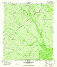
1974 · Indian Tank
USGS Topo · 1:24,000
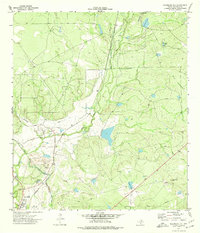
1974 · Deadmans Hill
USGS Topo · 1:24,000
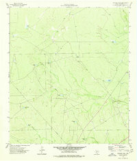
1974 · Trosado Tank
USGS Topo · 1:24,000
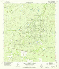
1974 · Sacatosa Tank
USGS Topo · 1:24,000