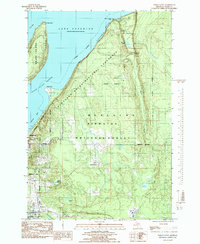
1984 Map of Indian Town
USGS Topo · Published 1985About this map
Munising and the surrounding timberlands of the Hiawatha National Forest dominate this mid-1980s survey of the Lake Superior shoreline. The map documents a landscape defined by its transition from the deep waters of Grand Island Harbor and South Bay to the rising sandstone formations of Pictured Rocks National Lakeshore. Significant hydrological features like Miners Falls and Munising Falls are recorded along the coastal escarpment, while the interior is dotted with remote water bodies such as Nelson Lake and McFarlin Lake.
Find a feature on this map
28 named features on this map. Tap any name to fly to it.
Don’t see what you’re looking for? This feature index may not catch every label — zoom into the map to look around manually.
Map Details
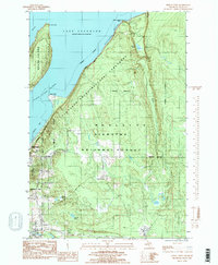
Editions of this 1984 Indian Town Map
2 editions found
Other maps of this area

1931 · Shingleton SW
USGS Topo · 1:31,680

1931 · Munising SE
USGS Topo · 1:31,680

1958 · Munising
USGS Topo · 1:62,500

1958 · Wood Island
USGS Topo · 1:62,500

1958 · Shingleton
USGS Topo · 1:62,500

1958 · Grand Portal Point
USGS Topo · 1:62,500

1958 · Marquette
USGS Topo · 1:250,000

1960 · Marquette
USGS Topo · 1:250,000

1961 · Marquette
USGS Topo · 1:250,000

1968 · Marquette
USGS Topo · 1:250,000