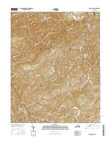
2016 Map of Indian Valley
USGS Topo · Published 2016About this map
Indian Valley sits at the heart of this high-elevation terrain where the headwaters of several major creek systems diverge. The landscape is defined by its complex ridges and hollows, including High Knoll Mtn and Locust Thicket Mtn, which frame the watershed boundaries between the Little River and Greasy Creek. Genealogists will find several family-named burial grounds throughout the area, such as Quesenberry Cem and Tade Quesenberry Cem, as well as Big Sand Cem near the valley floor. The map documents a rural road network that follows the natural contours of the land, with routes like Indian Valley Rd NW and Macks Mountain Rd NW connecting dispersed homesteads and farms. Water features are abundant, from the small Ottari Lake to the drainage of Big Indian Cr, illustrating the typical settlement patterns of the Blue Ridge highlands.
Find a feature on this map
74 named features on this map. Tap any name to fly to it.
Don’t see what you’re looking for? This feature index may not catch every label — zoom into the map to look around manually.
Map Details
Editions of this 2016 Indian Valley Map
This is the sole edition of this map. No revisions or reprints were ever made.
Other maps of this area
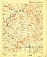
1889 · Hillsville
USGS Topo · 1:125,000
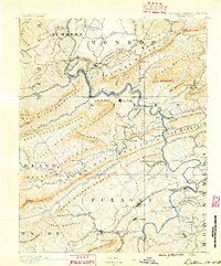
1890 · Dublin
USGS Topo · 1:125,000
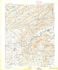
1890 · Christiansburg
USGS Topo · 1:125,000
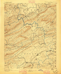
1891 · Dublin
USGS Topo · 1:125,000
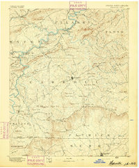
1892 · Hillsville
USGS Topo · 1:125,000
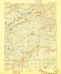
1896 · Hillsville
USGS Topo · 1:125,000
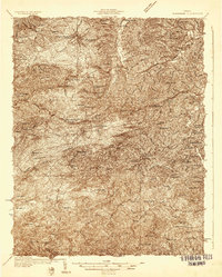
1932 · Blacksburg
USGS Topo · 1:48,000
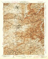
1937 · Blacksburg
USGS Topo · 1:62,500
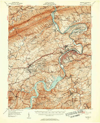
1950 · Radford
USGS Topo · 1:62,500
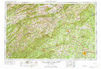
1953 · Winston-Salem
USGS Topo · 1:250,000