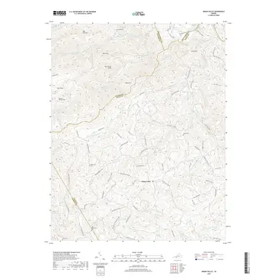
2019 Map of Indian Valley
USGS Topo · Published 2019About this map
Indian Valley serves as a central point in this part of Floyd County, where the landscape is defined by the high ridges of High Knoll Mtn and Macks Mtn. The drainage patterns are complex, with the Little River and several branches of Greasy Creek carving through the highlands near the Carroll County and Pulaski County lines. This 2019 survey documents a network of named rural roads, including Simpkinstown Rd and Duncan Valley Rd NW, which connect disparate homesteads and family landmarks.
Find a feature on this map
79 named features on this map. Tap any name to fly to it.
Don’t see what you’re looking for? This feature index may not catch every label — zoom into the map to look around manually.
Map Details
Editions of this 2019 Indian Valley Map
This is the sole edition of this map. No revisions or reprints were ever made.
Other maps of this area

1889 · Hillsville
USGS Topo · 1:125,000

1890 · Dublin
USGS Topo · 1:125,000

1890 · Christiansburg
USGS Topo · 1:125,000

1891 · Dublin
USGS Topo · 1:125,000

1892 · Hillsville
USGS Topo · 1:125,000

1896 · Hillsville
USGS Topo · 1:125,000

1932 · Blacksburg
USGS Topo · 1:48,000

1937 · Blacksburg
USGS Topo · 1:62,500

1950 · Radford
USGS Topo · 1:62,500

1953 · Winston-Salem
USGS Topo · 1:250,000