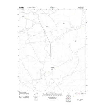
2011 Map of Indian Wells
USGS Topo · Published 2011About this map
Indian Wells and Bidahochi serve as the primary hubs in this high-desert landscape, defined by a complex network of seasonal drainage and vital water sources. The Bidahochi Trading Post stands near the intersection of Indian Rte 15 and Bidahochi Wash, marking a site of commerce and community in the Navajo Nation. The terrain is characterized by dramatic elevations like Bidahochi Butte and the broad expanses of Wood Chop Mesa and Red Clay Mesa. Scattered springs, including Sunshine Spring, Owl Spring, and Bidahochi Spring, provide critical points of interest for those tracing the history of settlement and land use in this arid region. The presence of Gasline Rd and various Indian Routes indicates the modern infrastructure woven into this traditional landscape, while Na Ah Tee Canyon and Na Ah Tee Wash dominate the northern drainage patterns.
Find a feature on this map
22 named features on this map. Tap any name to fly to it.
Don’t see what you’re looking for? This feature index may not catch every label — zoom into the map to look around manually.
Map Details
Editions of this 2011 Indian Wells Map
This is the sole edition of this map. No revisions or reprints were ever made.
Other maps of this area

1883 · Tusayan
USGS Topo · 1:250,000

1886 · Tusayan
USGS Topo · 1:250,000

1886 · Fort Defiance
USGS Topo · 1:250,000

1892 · Fort Defiance
USGS Topo · 1:250,000

1947 · Flagstaff
USGS Topo · 1:250,000

1954 · Flagstaff
USGS Topo · 1:250,000

1954 · Gallup
USGS Topo · 1:250,000

1958 · Gallup
USGS Topo · 1:250,000

1958 · Flagstaff
USGS Topo · 1:250,000

1959 · Gallup
USGS Topo · 1:250,000
Featured Places
- Fort Defiance Agency
- Bidahochi, Fort Defiance Agency
- Indian Wells, Fort Defiance Agency
- Navajo County, AZ
- United States