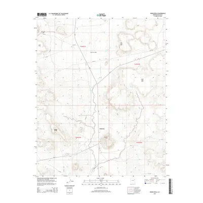
2014 Map of Indian Wells
USGS Topo · Published 2014About this map
Indian Wells and the neighboring settlement of Bidahochi anchor this high-desert landscape in the early 21st century. The terrain is defined by a series of prominent mesas, including Gray Mesa, Red Clay Mesa, and Wood Chop Mesa, which overlook the seasonal drainage of Bidahochi Wash. The road network is heavily influenced by Bureau of Indian Affairs routes such as Bia-6 and Bia-15, tracing a path through the sandstone formations and canyons like Na Ah Tee Canyon.
Find a feature on this map
29 named features on this map. Tap any name to fly to it.
Don’t see what you’re looking for? This feature index may not catch every label — zoom into the map to look around manually.
Map Details
Editions of this 2014 Indian Wells Map
This is the sole edition of this map. No revisions or reprints were ever made.
Other maps of this area

1883 · Tusayan
USGS Topo · 1:250,000

1886 · Tusayan
USGS Topo · 1:250,000

1886 · Fort Defiance
USGS Topo · 1:250,000

1892 · Fort Defiance
USGS Topo · 1:250,000

1947 · Flagstaff
USGS Topo · 1:250,000

1954 · Flagstaff
USGS Topo · 1:250,000

1954 · Gallup
USGS Topo · 1:250,000

1958 · Gallup
USGS Topo · 1:250,000

1958 · Flagstaff
USGS Topo · 1:250,000

1959 · Gallup
USGS Topo · 1:250,000
Featured Places
- Fort Defiance Agency
- Bidahochi, Fort Defiance Agency
- Indian Wells, Fort Defiance Agency
- Navajo County, AZ
- United States