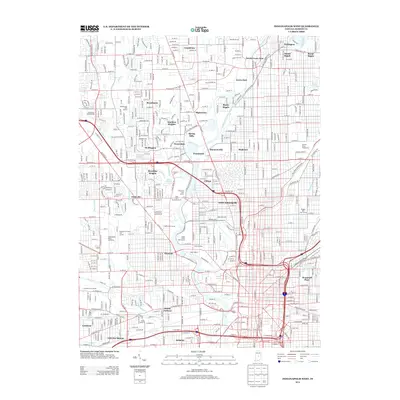
2013 Map of Indianapolis West
USGS Topo · Published 2013About this map
The White River and the Indianapolis Water Company Canal define the urban geography of West Indianapolis, carving a path through established neighborhoods and major sports venues. This 2013 survey provides a clear look at the city's recreational and cultural hubs, including the world-renowned Indianapolis Motor Speedway and the Indiana State Fairgrounds. The map documents the intricate residential fabric of the city, from the historic island community of Rocky Ripple to the specialized planned landscape of Woodruff Place.
Find a feature on this map
60 named features on this map. Tap any name to fly to it.
Don’t see what you’re looking for? This feature index may not catch every label — zoom into the map to look around manually.
Map Details
Editions of this 2013 Indianapolis West Map
This is the sole edition of this map. No revisions or reprints were ever made.
Other maps of this area

1948 · Indianapolis East
USGS Topo · 1:24,000

1948 · Maywood
USGS Topo · 1:24,000

1948 · Beech Grove
USGS Topo · 1:24,000

1948 · Indianapolis West
USGS Topo · 1:24,000

1952 · Fishers
USGS Topo · 1:24,000

1952 · Carmel
USGS Topo · 1:24,000

1953 · Bridgeport
USGS Topo · 1:24,000

1953 · Zionsville
USGS Topo · 1:24,000

1953 · Clermont
USGS Topo · 1:24,000

1953 · Indianapolis
USGS Topo · 1:250,000
Featured Places
- Indianapolis, IN
- Speedway, Indianapolis
- Meridian Hills, Indianapolis
- Rocky Ripple, Indianapolis
- Wynnedale, Indianapolis