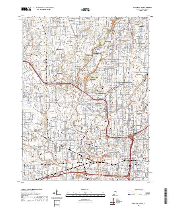
2022 Map of Indianapolis West
USGS Topo · Published 2022About this map
The White River and the Indianapolis Water Company Canal define the urban and residential geography of western Indianapolis in this recent survey. Within the grounds of the expansive Crown Hill National Cem, researchers can locate the Grave of President Harrison, a significant historical landmark situated amongst several prominent burial grounds including Salem Cem and Washington Park North Cem. The map illustrates the academic corridor stretching from Butler University and the Christian Theological Seminary down to the Indiana University Purdue University Indianapolis campus near the downtown core.
Find a feature on this map
68 named features on this map. Tap any name to fly to it.
Don’t see what you’re looking for? This feature index may not catch every label — zoom into the map to look around manually.
Map Details
Editions of this 2022 Indianapolis West Map
This is the sole edition of this map. No revisions or reprints were ever made.
Other maps of this area

1948 · Indianapolis East
USGS Topo · 1:24,000

1948 · Maywood
USGS Topo · 1:24,000

1948 · Beech Grove
USGS Topo · 1:24,000

1948 · Indianapolis West
USGS Topo · 1:24,000

1952 · Fishers
USGS Topo · 1:24,000

1952 · Carmel
USGS Topo · 1:24,000

1953 · Bridgeport
USGS Topo · 1:24,000

1953 · Zionsville
USGS Topo · 1:24,000

1953 · Clermont
USGS Topo · 1:24,000

1953 · Indianapolis
USGS Topo · 1:250,000
Featured Places
- Indianapolis, IN
- Speedway, Indianapolis
- Meridian Hills, Indianapolis
- Rocky Ripple, Indianapolis
- Wynnedale, Indianapolis