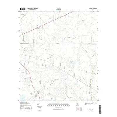
2017 Map of Indianola
USGS Topo · Published 2017About this map
Mud Swamp and the surrounding drainage network of Grand Bay Cr and Otter Cr dominate this South Georgia landscape near the border of Lowndes and Echols Counties. The area reflects a mix of small settlements and family-named locations such as Indianola and Dasher. Low-lying terrain is punctuated by water features including Boring Pond and the Deloach Lake Dam reservoir. Genealogists and local historians can pinpoint the Thomas Cem and Green Cem, while the local aviation history of the region is anchored by McClellan Airport. The road system is extensive, ranging from modern thoroughfares like Inner Perimeter Rd to rural routes like Old Statenville Rd, illustrating the intersection of Valdosta's outlying growth with long-standing agricultural and timber lands.
Find a feature on this map
105 named features on this map. Tap any name to fly to it.
Don’t see what you’re looking for? This feature index may not catch every label — zoom into the map to look around manually.
Map Details
Editions of this 2017 Indianola Map
This is the sole edition of this map. No revisions or reprints were ever made.
Other maps of this area

1954 · Valdosta
USGS Topo · 1:250,000

1956 · Clyattville
USGS Topo · 1:24,000

1958 · Valdosta
USGS Topo · 1:250,000

1959 · Valdosta
USGS Topo · 1:250,000

1961 · Hahira East
USGS Topo · 1:24,000

1961 · Valdosta
USGS Topo · 1:24,000

1968 · Naylor
USGS Topo · 1:24,000

1971 · Indianola
USGS Topo · 1:24,000

1971 · Howell
USGS Topo · 1:24,000

1971 · Lake Park
USGS Topo · 1:24,000