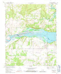
1971 Map of Indianola
USGS Topo · Published 1991About this map
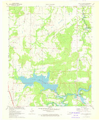
Indianola and the surrounding high ground of Choate Prairie dominate this landscape, situated just south of the vast Eufaula Lake shoreline. The area is defined by its transition from the northern Burton hills down to the Canadian River valley. The map reveals a community deeply rooted in its local institutions, evidenced by the cluster of rural churches and burial grounds such as Choate Prairie Ch and the Indianola Cem. An Old Railroad Grade cuts across the terrain south of the lake, marking the path of former transport infrastructure that once connected these rural settlements. The drainage patterns of Shell Mill Creek and Rock Creek carve through the northern and southern reaches of the quadrangle, illustrating the complex hydrology near the McIntosh and Pittsburg County line.
Find a feature on this map
17 named features on this map. Tap any name to fly to it.
Don’t see what you’re looking for? This feature index may not catch every label — zoom into the map to look around manually.
Map Details
Editions of this 1971 Indianola Map
2 editions found
Other maps of this area

1900 · Canadian
USGS Topo · 1:125,000

1946 · Fort Smith
USGS Topo · 1:250,000

1962 · Raiford
USGS Topo · 1:24,000

1962 · Henryetta SW
USGS Topo · 1:24,000

1963 · Stidham
USGS Topo · 1:24,000

1965 · Fort Smith
USGS Topo · 1:250,000

1967 · Fort Smith
USGS Topo · 1:250,000
1971 · Crowder
USGS Topo · 1:24,000
1971 · Canadian
USGS Topo · 1:24,000
1971 · Lake Mc Alester
USGS Topo · 1:24,000