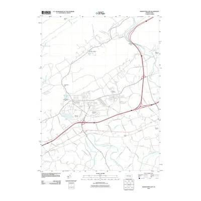
2010 Map of Indiantown Gap
USGS Topo · Published 2010About this map
Swatara Creek and its many tributaries, such as Indiantown Run and Reeds Creek, define the landscape of this Lebanon County corridor. The area is characterized by significant military and commemorative infrastructure, most notably the sprawling grounds of the Indiantown Gap National Cemetery and several controlled water bodies like Marquette Lake and Memorial Lake. These reservoirs are managed by structures including the Reservation Dam and Shuey Lake Dam.
Find a feature on this map
67 named features on this map. Tap any name to fly to it.
Don’t see what you’re looking for? This feature index may not catch every label — zoom into the map to look around manually.
Map Details
Editions of this 2010 Indiantown Gap Map
This is the sole edition of this map. No revisions or reprints were ever made.
Other maps of this area

1891 · Lebanon
USGS Topo · 1:62,500

1892 · Lykens
USGS Topo · 1:62,500

1892 · Hummelstown
USGS Topo · 1:62,500

1892 · Pine Grove
USGS Topo · 1:62,500

1893 · Lykens
USGS Topo · 1:62,500

1893 · Lebanon
USGS Topo · 1:62,500

1899 · Lebanon
USGS Topo · 1:62,500

1924 · Hummelstown
USGS Topo · 1:62,500

1943 · Lebanon
USGS Topo · 1:62,500

1943 · Lykens
USGS Topo · 1:62,500
Featured Places
- East Hanover Township, PA
- North Annville Township, PA
- Cold Spring Township, PA
- Swatara Township, PA
- Harper Tavern, East Hanover Township