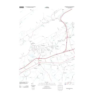
2013 Map of Indiantown Gap
USGS Topo · Published 2013About this map
Fort Indiantown Gap and its sprawling training infrastructure dominate this modern landscape, centered on the Muir Army Airfield. The military installation is deeply integrated into the surrounding geography of East Hanover and the northern Blue Mountain passes, including Rausch Gap and Swatara Gap. The map details the precise layout of the garrison area, from Marquette Lake to the complex network of training roads like Ammo Rd and Fire Lane Rd.
Find a feature on this map
181 named features on this map. Tap any name to fly to it.
Don’t see what you’re looking for? This feature index may not catch every label — zoom into the map to look around manually.
Map Details
Editions of this 2013 Indiantown Gap Map
This is the sole edition of this map. No revisions or reprints were ever made.
Other maps of this area

1891 · Lebanon
USGS Topo · 1:62,500

1892 · Lykens
USGS Topo · 1:62,500

1892 · Hummelstown
USGS Topo · 1:62,500

1892 · Pine Grove
USGS Topo · 1:62,500

1893 · Lykens
USGS Topo · 1:62,500

1893 · Lebanon
USGS Topo · 1:62,500

1899 · Lebanon
USGS Topo · 1:62,500

1924 · Hummelstown
USGS Topo · 1:62,500

1943 · Lebanon
USGS Topo · 1:62,500

1943 · Lykens
USGS Topo · 1:62,500
Featured Places
- East Hanover Township, PA
- North Annville Township, PA
- Cold Spring Township, PA
- Swatara Township, PA
- Harper Tavern, East Hanover Township