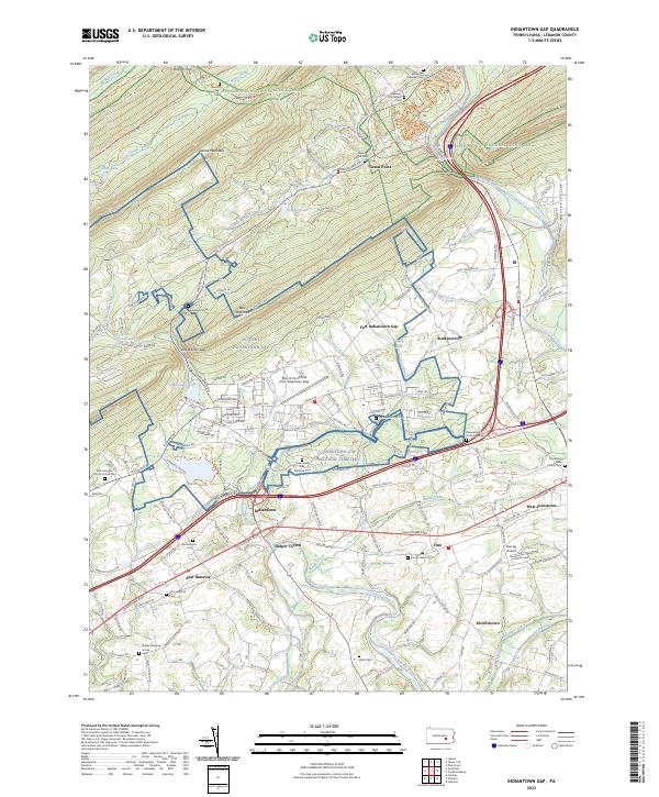
2023 Map of Indiantown Gap
USGS Topo · Published 2023About this map
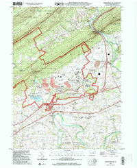
Fort Indiantown Gap and the expansive Indiantown Gap National Cemetery dominate this portion of Lebanon County, where military operations and commemorative landscapes meet the ridge-and-valley terrain of Blue Mountain. The area is a nexus of historic transit, preserved through the Stony Valley Railroad Grade Trail and the Swatara Rail Trail, which trace former industrial corridors through the gap. Downslope, the course of the historic Union Canal follows Swatara Creek, providing a clear link to the region's 19th-century waterway infrastructure.
Find a feature on this map
64 named features on this map. Tap any name to fly to it.
Don’t see what you’re looking for? This feature index may not catch every label — zoom into the map to look around manually.
Map Details
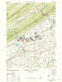
Editions of this 2023 Indiantown Gap Map
This is the sole edition of this map. No revisions or reprints were ever made.
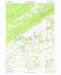
Historical Maps of Inwood Through Time
5 maps found
Featured Locations
- Bethel Township, PA
- North Annville Township, PA
- Cold Spring Township, PA
- East Hanover Township, PA
- Swatara Township, PA