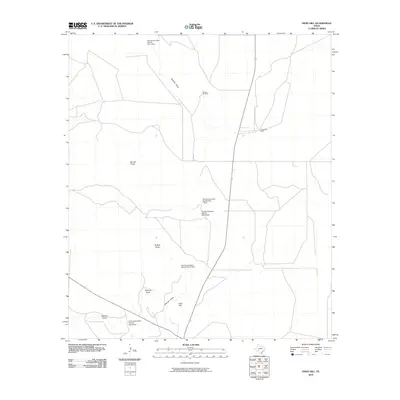
2010 Map of Indio Hill
USGS Topo · Published 2010About this map
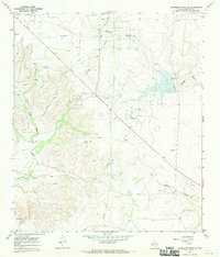
Indio Hill rises above a landscape defined by an extensive network of ephemeral drainage channels and water management infrastructure. This 2010 survey records the ranching character of the region, anchored by the J Childress Ranch and landmarks like the McNutt Windmill. The terrain is deeply inscribed by numerous draws, including Johnson Draw, Garrett Draw, and Buffalo Draw, which channel seasonal runoff through the arid landscape. A series of water control structures, such as Soil Conservation Service Site 1 Dam and Soil Conservation Service Site 6 Dam, illustrate the mid-to-late 20th-century efforts to manage erosion and preserve water resources in this part of Crockett County. These soil conservation sites are critical markers for understanding land use and engineering responses to the environmental challenges of West Texas ranching country.
Find a feature on this map
13 named features on this map. Tap any name to fly to it.
Don’t see what you’re looking for? This feature index may not catch every label — zoom into the map to look around manually.
Map Details
Editions of this 2010 Indio Hill Map
This is the sole edition of this map. No revisions or reprints were ever made.
Other maps of this area

1954 · Sonora
USGS Topo · 1:250,000

1958 · Sonora
USGS Topo · 1:250,000
1967 · Ozona
USGS Topo · 1:24,000
1967 · Double Mill Draw SE
USGS Topo · 1:24,000
1967 · Schneeman Draw NE
USGS Topo · 1:24,000
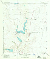
1967 · Indio Hill
USGS Topo · 1:24,000
1967 · Double Mill Draw NW
USGS Topo · 1:24,000
1967 · Crockett Heights
USGS Topo · 1:24,000
1967 · Double Mill Draw NE
USGS Topo · 1:24,000
1967 · Schneeman Draw SE
USGS Topo · 1:24,000