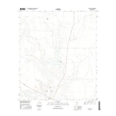
2016 Map of Indio Hill
USGS Topo · Published 2016About this map
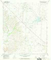
Indio Hill rises above the Edwards Plateau in this section of Crockett County, anchoring a landscape defined by an intricate network of ephemeral drainage systems. These branching waterways, including the prominent Johnson Draw and Garrett Draw, illustrate the natural irrigation patterns of the West Texas scrubland. The drainage network converges near the southern map boundary where Buffalo Draw, Wildcat Draw, and Newton Draw meet, highlighting the topographic complexity of the terrain.
Find a feature on this map
9 named features on this map. Tap any name to fly to it.
Don’t see what you’re looking for? This feature index may not catch every label — zoom into the map to look around manually.
Map Details
Editions of this 2016 Indio Hill Map
This is the sole edition of this map. No revisions or reprints were ever made.
Other maps of this area

1954 · Sonora
USGS Topo · 1:250,000

1958 · Sonora
USGS Topo · 1:250,000
1967 · Ozona
USGS Topo · 1:24,000
1967 · Double Mill Draw SE
USGS Topo · 1:24,000
1967 · Schneeman Draw NE
USGS Topo · 1:24,000
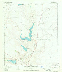
1967 · Indio Hill
USGS Topo · 1:24,000
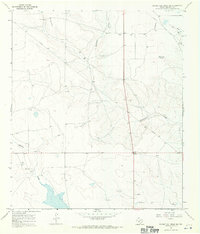
1967 · Double Mill Draw NW
USGS Topo · 1:24,000
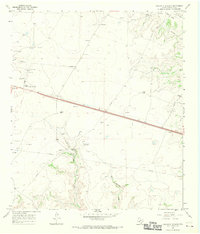
1967 · Crockett Heights
USGS Topo · 1:24,000
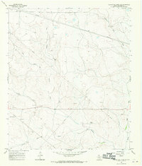
1967 · Double Mill Draw NE
USGS Topo · 1:24,000
1967 · Schneeman Draw SE
USGS Topo · 1:24,000