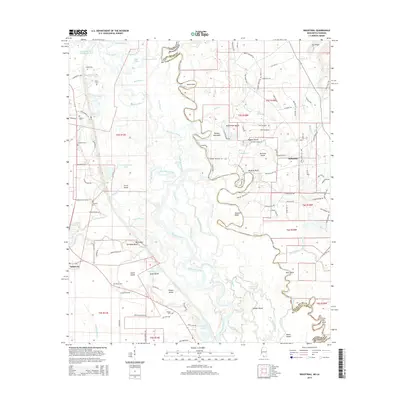
2015 Map of Industrial
USGS Topo · Published 2015About this map
The Pearl River and its intricate distributary network form a complex water landscape along the state border between Pearl River County and St. Tammany Parish. The map illustrates a labyrinth of secondary waterways, including the Bogue Chitto, West Pearl River, and numerous sloughs like Cryer Slough and Wilson Slough. This fluvial environment is punctuated by named land features such as Nicks Point, Hogpen Island, and Holmes Island, reflecting a geography shaped by the shifting currents of the river system.
Find a feature on this map
141 named features on this map. Tap any name to fly to it.
Don’t see what you’re looking for? This feature index may not catch every label — zoom into the map to look around manually.
Map Details
Editions of this 2015 Industrial Map
This is the sole edition of this map. No revisions or reprints were ever made.
Other maps of this area

1914 · Nicholson
USGS Topo · 1:62,500

1921 · Nicholson
USGS Topo · 1:62,500

1935 · Slidell
USGS Topo · 1:62,500

1939 · Slidell
USGS Topo · 1:62,500

1941 · Honey Island
USGS Topo · 1:31,680

1942 · Talisheek
USGS Topo · 1:31,680

1942 · Rio
USGS Topo · 1:31,680

1942 · Walkiah Bluff
USGS Topo · 1:31,680

1942 · Pools Bluff
USGS Topo · 1:31,680

1950 · Slidell
USGS Topo · 1:62,500