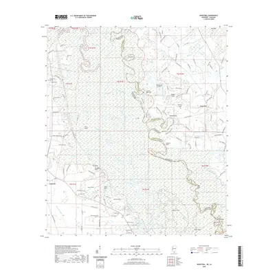
2020 Map of Industrial
USGS Topo · Published 2020About this map
Industrial and Talisheek anchor a complex riverine environment where the West Pearl River and Pearl River Canal define the border between Mississippi and Louisiana. This 2020 survey reveals a landscape deeply tied to the shifting waters of the Pearl River system, characterized by an intricate network of sloughs, bayous, and islands. Longstanding family and community connections are evident in the numerous small burial grounds, including Thomas Cem, Parker Cem, and Hebron Baptist Cem, which sit adjacent to early aviation sites like Fokker Field. The mapping of features like Walkiah Bluff and Stewarts Bluff highlights the distinct elevation changes that have historically provided dry ground amidst the wetlands of Pechochan Swamp and Old Mud Swamp. The concentration of private landmarks, from the Cajun Hunting Club to named points like Nicks Point, reflects the area's continued use for timber, transit, and recreation in the early 21st century.
Find a feature on this map
146 named features on this map. Tap any name to fly to it.
Don’t see what you’re looking for? This feature index may not catch every label — zoom into the map to look around manually.
Map Details
Editions of this 2020 Industrial Map
This is the sole edition of this map. No revisions or reprints were ever made.
Other maps of this area

1914 · Nicholson
USGS Topo · 1:62,500

1921 · Nicholson
USGS Topo · 1:62,500

1935 · Slidell
USGS Topo · 1:62,500

1939 · Slidell
USGS Topo · 1:62,500

1941 · Honey Island
USGS Topo · 1:31,680

1942 · Talisheek
USGS Topo · 1:31,680

1942 · Rio
USGS Topo · 1:31,680

1942 · Walkiah Bluff
USGS Topo · 1:31,680

1942 · Pools Bluff
USGS Topo · 1:31,680

1950 · Slidell
USGS Topo · 1:62,500