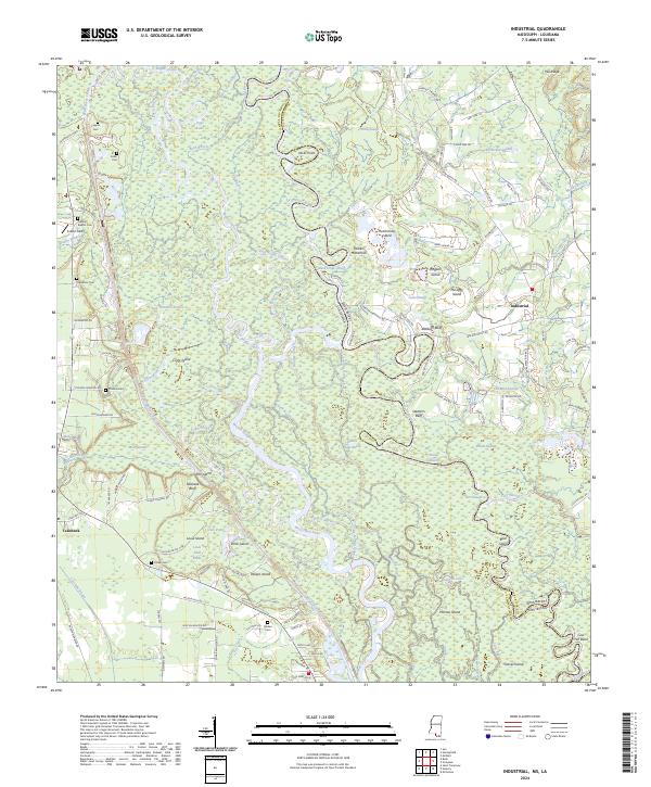
2024 Map of Industrial
USGS Topo · Published 2024About this map
The Bogue Chitto river system dominates this landscape at the Mississippi-Louisiana border, creating a complex network of branching waterways including the East Bogue Chitto and Middle Bogue Chitto. This area is largely defined by the Bogue Chitto National Wildlife Refuge, where the river’s meandering course has formed numerous islands and reaches such as Hutchinson Island, Hogpen Island, and Nances Reach. To the west, the settlement of Talisheek sits near the headwaters of Talisheek Creek, while the community of Industrial is positioned on the eastern higher ground.
Find a feature on this map
146 named features on this map. Tap any name to fly to it.
Don’t see what you’re looking for? This feature index may not catch every label — zoom into the map to look around manually.
Map Details
Editions of this 2024 Industrial Map
This is the sole edition of this map. No revisions or reprints were ever made.
Other maps of this area

1914 · Nicholson
USGS Topo · 1:62,500

1921 · Nicholson
USGS Topo · 1:62,500

1935 · Slidell
USGS Topo · 1:62,500

1939 · Slidell
USGS Topo · 1:62,500

1941 · Honey Island
USGS Topo · 1:31,680

1942 · Talisheek
USGS Topo · 1:31,680

1942 · Rio
USGS Topo · 1:31,680

1942 · Walkiah Bluff
USGS Topo · 1:31,680

1942 · Pools Bluff
USGS Topo · 1:31,680

1950 · Slidell
USGS Topo · 1:62,500