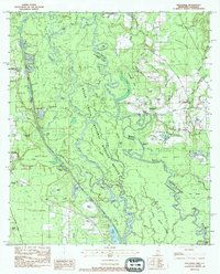
1983 Map of Industrial
USGS Topo · Published 1984About this map
The Bogue Chitto and Pearl River systems dominate this 1983 landscape, defining the state boundary between Mississippi and Louisiana. This survey captures the complex hydrology of the region, where the Bogue Chitto splits into distinct West, Middle, and East channels. Settlement is sparse, focused around the communities of Industrial and Talisheek, with family-named cemeteries such as Copper Cem, Keller Cem, and McGee Cem scattered across the piney woods and swamps. The Illinois Central Gulf Railroad cuts through the western portion, while local infrastructure like Lock No 2 on the river and the Fire Station near the southern border indicate a landscape managed for both transport and public safety within the National Wildlife Refuge. Local history is preserved in the numerous named islands and bluffs, including Hogpen Island and Walkiah Bluff.
Find a feature on this map
98 named features on this map. Tap any name to fly to it.
Don’t see what you’re looking for? This feature index may not catch every label — zoom into the map to look around manually.
Map Details
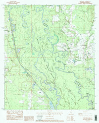
Editions of this 1983 Industrial Map
2 editions found
Other maps of this area

1914 · Nicholson
USGS Topo · 1:62,500

1921 · Nicholson
USGS Topo · 1:62,500

1935 · Slidell
USGS Topo · 1:62,500

1939 · Slidell
USGS Topo · 1:62,500

1941 · Honey Island
USGS Topo · 1:31,680

1942 · Talisheek
USGS Topo · 1:31,680

1942 · Rio
USGS Topo · 1:31,680

1942 · Walkiah Bluff
USGS Topo · 1:31,680

1942 · Pools Bluff
USGS Topo · 1:31,680

1950 · Slidell
USGS Topo · 1:62,500