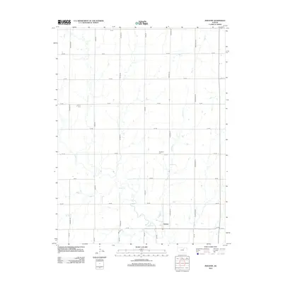
2012 Map of Industry
USGS Topo · Published 2012About this map
Industry serves as the central focal point of this Kansas landscape, situated near the confluence of several vital watercourses. The drainage patterns of the region are defined by the winding paths of Chapman Cr and its tributaries, including Basket Cr, McMurray Cr, and Otter Cr. These streams bisect an orderly grid of rural thoroughfares such as Indian Rd, Jayhawk Rd, and Limestone Rd. For local history researchers and genealogists, the Athelstane Cem provides a significant landmark for tracing early settlement families in this part of Clay County. The map illustrates a classic Midwestern agricultural layout where the geometry of the road system, from 1st Rd up to 9th Rd, reflects the systematic division of land typical of the Great Plains' development.
Find a feature on this map
28 named features on this map. Tap any name to fly to it.
Don’t see what you’re looking for? This feature index may not catch every label — zoom into the map to look around manually.
Map Details
Editions of this 2012 Industry Map
This is the sole edition of this map. No revisions or reprints were ever made.
Other maps of this area

1891 · Clay Center
USGS Topo · 1:125,000

1955 · Manhattan
USGS Topo · 1:250,000

1956 · Manhattan
USGS Topo · 1:250,000

1957 · Manhattan
USGS Topo · 1:250,000
1963 · Upland
USGS Topo · 1:24,000
1964 · Industry
USGS Topo · 1:24,000
1964 · Buckeye
USGS Topo · 1:24,000

1964 · Clay Center SW
USGS Topo · 1:24,000
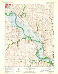
1964 · Clay Center SE
USGS Topo · 1:24,000
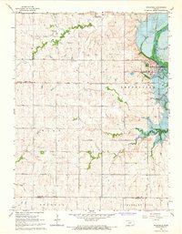
1964 · Wakefield
USGS Topo · 1:24,000